Area Overview for NE47 6HW
Photos of NE47 6HW
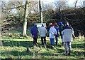
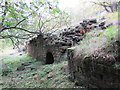
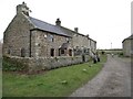
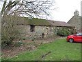
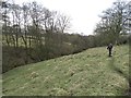
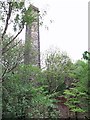
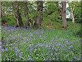
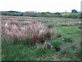
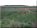
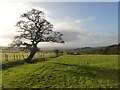
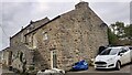
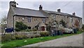
33 photos from this area
Area Information
Key information about the NE47 6HW including its size, population, and administrative classification.
- Area Type
- Postcode
- Area Size
- 1.4 km²
- Population
- 2375
- Population Density
- 33 people/km²
House Prices in NE47 6HW
16
Properties
£253,188
Average Sold Price
£250
Lowest Price
£640,000
Highest Price
Showing 16 properties
| Address | Type | Beds | Baths | Last Sale Price | Last Sale Date | |
|---|---|---|---|---|---|---|
| Chesterwood Grange, U 8127 Chesterwood Junction To Stonecroft House Junction, Haydon Bridge, NE47 6HW | house | - | - | £640,000 | Dec 2020 | |
| West Farm Cottage, Chesterwood, Haydon Bridge, NE47 6HW | house | - | - | £210,000 | Dec 2020 | |
| Chesterwood Grange Cottage, U 8127 Chesterwood Junction To Stonecroft House Junction, Haydon Bridge, NE47 6HW | Detached | 3 | 1 | £250 | Sep 2017 | |
| Chesterwood Park Cottage, Chesterwood, Haydon Bridge, NE47 6HW | Detached | - | - | £162,500 | Dec 2000 | |
| 2, Chesterwood Barns, Chesterwood, Haydon Bridge, NE47 6HW | Semi-detached | 4 | 1 | - | - | |
| Chesterwood Villa, U 8127 Chesterwood Junction To Stonecroft House Junction, Haydon Bridge, NE47 6HW | house | 3 | - | - | - | |
| The Cottage, Chesterwood Barns, Chesterwood, Haydon Bridge, NE47 6HW | Terraced | - | - | - | - | |
| 1, Chesterwood Barns, Chesterwood, Haydon Bridge, NE47 6HW | house | - | - | - | - | |
| Chesterwood Farm, Chesterwood, Haydon Bridge, NE47 6HW | Terraced | - | - | - | - | |
| Springfield, Chesterwood, Haydon Bridge, NE47 6HW | Detached | - | - | - | - |
Page 1 of 2
Energy Efficiency in NE47 6HW
Amenities
Schools
| Rank | School | Type | Entry gender | Ages |
|---|
Explore more schools in this area
Go to Schools tabDemographics
Household Size
Two person
most common
Accommodation Type
Houses
most common
Tenure
62
majority
Ethnic Group
White
most common
Religion
N/A
most common
Household Composition
N/A
most common
Age
47
median
Adults (30-64 years)
most common
Household Deprivation
N/A
with no deprivation
NS-SEC
31
in Lower managerial occupations
Explore more demographic insights in this area
Go to Demographics tabPlanning
Planning Constraints
- Flood RiskPremium
- Ramsar Wetland SitesPremium
- Area of Outstanding Natural BeautyPremium
- Protected Nature ReservePremium
- Protected WoodlandPremium