Area Overview for NE46 2LR
Photos of NE46 2LR
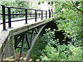
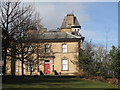
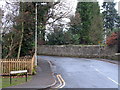
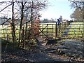
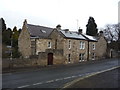
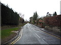
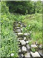
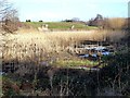
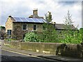
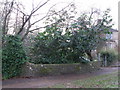
56 photos from this area
Area Information
Key information about the NE46 2LR including its size, population, and administrative classification.
- Area Type
- Postcode
- Area Size
- 3.9 hectares
- Population
- 1491
- Population Density
- 106 people/km²
House Prices in NE46 2LR
30
Properties
£255,773
Average Sold Price
£33,000
Lowest Price
£425,000
Highest Price
Showing 30 properties
| Address | Type | Beds | Baths | Last Sale Price | Last Sale Date | |
|---|---|---|---|---|---|---|
| 25 Bishopton Way, Hexham, NE46 2LR | Detached | 3 | 2 | £347,500 | Sep 2025 | |
| 10 Bishopton Way, Hexham, NE46 2LR | house | - | - | £415,000 | Sep 2025 | |
| 32 Bishopton Way, Hexham, NE46 2LR | house | - | - | £425,000 | May 2025 | |
| 26 Bishopton Way, Hexham, NE46 2LR | Detached | 4 | - | £320,000 | Jan 2021 | |
| 23 Bishopton Way, Hexham, NE46 2LR | Bungalow | - | - | £290,000 | Jan 2019 | |
| 24 Bishopton Way, Hexham, NE46 2LR | Detached | 3 | 1 | £215,000 | Nov 2018 | |
| 7 Bishopton Way, Hexham, NE46 2LR | house | - | - | £310,000 | Jul 2017 | |
| 15 Bishopton Way, Hexham, NE46 2LR | Bungalow | 3 | - | £260,000 | Nov 2015 | |
| 30 Bishopton Way, Hexham, NE46 2LR | Detached | 5 | 1 | £372,500 | Sep 2015 | |
| 27 Bishopton Way, Hexham, NE46 2LR | house | 4 | - | £285,000 | Jul 2012 |
Page 1 of 3
Energy Efficiency in NE46 2LR
Amenities
Schools
| Rank | School | Type | Entry gender | Ages |
|---|
Explore more schools in this area
Go to Schools tabDemographics
Household Size
Two person
most common
Accommodation Type
Houses
most common
Tenure
89
majority
Ethnic Group
White
most common
Religion
N/A
most common
Household Composition
N/A
most common
Age
47
median
Adults (30-64 years)
most common
Household Deprivation
N/A
with no deprivation
NS-SEC
51
in Lower managerial occupations
Explore more demographic insights in this area
Go to Demographics tabPlanning
Planning Constraints
- Flood RiskPremium
- Ramsar Wetland SitesPremium
- Area of Outstanding Natural BeautyPremium
- Protected Nature ReservePremium
- Protected WoodlandPremium