Area Overview for NE46 1BT
Photos of NE46 1BT
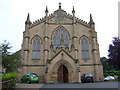
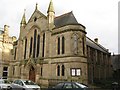
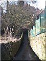
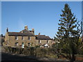
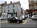
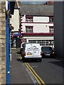
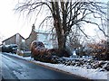
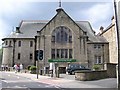
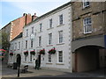
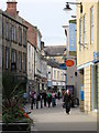
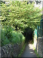
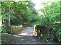
100 photos from this area
Area Information
Key information about the NE46 1BT including its size, population, and administrative classification.
- Area Type
- Postcode
- Area Size
- 1.5 hectares
- Population
- 2445
- Population Density
- 478 people/km²
House Prices in NE46 1BT
14
Properties
£327,938
Average Sold Price
£70,000
Lowest Price
£525,000
Highest Price
Showing 14 properties
| Address | Type | Beds | Baths | Last Sale Price | Last Sale Date | |
|---|---|---|---|---|---|---|
| 5 South Park, Hexham, NE46 1BT | house | 6 | - | £525,000 | Feb 2022 | |
| Orchard House, 6 South Park, Hexham, NE46 1BT | house | - | - | £510,000 | Feb 2017 | |
| Caretakers View, South Park, Hexham, NE46 1BT | Detached | - | - | £330,000 | Jun 2016 | |
| Bankfoot Cottage, South Park, Hexham, NE46 1BT | house | 4 | - | £275,000 | Nov 2011 | |
| 8 South Park, Hexham, NE46 1BT | Terraced | - | - | £385,000 | Jul 2007 | |
| 7 South Park, Hexham, NE46 1BT | Terraced | - | - | £330,000 | Apr 2006 | |
| Stoneleigh, South Park, Hexham, NE46 1BT | Detached | - | - | £198,500 | Sep 2001 | |
| Gallows Bank House, South Park, Hexham, NE46 1BT | Detached | - | - | £70,000 | Aug 1995 | |
| The Cottage, Kirkstyle, South Park, Hexham, NE46 1BT | Bungalow | 4 | - | - | - | |
| 4 South Park, Hexham, NE46 1BT | house | 7 | - | - | - |
Page 1 of 2
Energy Efficiency in NE46 1BT
Amenities
Schools
| Rank | School | Type | Entry gender | Ages |
|---|
Explore more schools in this area
Go to Schools tabDemographics
Household Size
Two person
most common
Accommodation Type
Houses
most common
Tenure
78
majority
Ethnic Group
White
most common
Religion
N/A
most common
Household Composition
N/A
most common
Age
47
median
Adults (30-64 years)
most common
Household Deprivation
N/A
with no deprivation
NS-SEC
45
in Lower managerial occupations
Explore more demographic insights in this area
Go to Demographics tabPlanning
Planning Constraints
- Flood RiskPremium
- Ramsar Wetland SitesPremium
- Area of Outstanding Natural BeautyPremium
- Protected Nature ReservePremium
- Protected WoodlandPremium