Area Overview for NE40 4QT
Photos of NE40 4QT

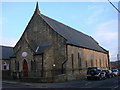
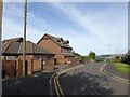
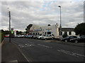
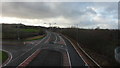
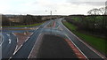
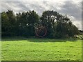
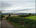
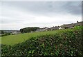
14 photos from this area
Area Information
Key information about the NE40 4QT including its size, population, and administrative classification.
- Area Type
- Postcode
- Area Size
- 4333 m²
- Population
- 2678
- Population Density
- 511 people/km²
House Prices in NE40 4QT
18
Properties
£92,960
Average Sold Price
£47,500
Lowest Price
£140,000
Highest Price
Showing 18 properties
| Address | Type | Beds | Baths | Last Sale Price | Last Sale Date | |
|---|---|---|---|---|---|---|
| 7 Delhi Crescent, Woodside, Ryton, NE40 4QT | Terraced | 2 | 1 | £140,000 | Oct 2025 | |
| 15 Delhi Crescent, Woodside, Ryton, NE40 4QT | Terraced | 2 | 1 | £130,600 | Oct 2025 | |
| 6 Delhi Crescent, Woodside, Ryton, NE40 4QT | Terraced | 2 | 1 | £113,000 | Jul 2022 | |
| 4 Delhi Crescent, Woodside, Ryton, NE40 4QT | Terraced | 3 | 1 | £104,995 | Aug 2020 | |
| 14 Delhi Crescent, Woodside, Ryton, NE40 4QT | house | - | - | £88,000 | Jun 2016 | |
| 3 Delhi Crescent, Woodside, Ryton, NE40 4QT | Terraced | 2 | 1 | £84,000 | Feb 2012 | |
| 16 Delhi Crescent, Woodside, Ryton, NE40 4QT | Terraced | - | - | £123,000 | Sep 2007 | |
| 18 Delhi Crescent, Woodside, Ryton, NE40 4QT | Terraced | - | - | £48,500 | Jun 2002 | |
| 10 Delhi Crescent, Woodside, Ryton, NE40 4QT | house | - | - | £50,000 | Mar 2002 | |
| 5 Delhi Crescent, Woodside, Ryton, NE40 4QT | Terraced | - | - | £47,500 | Feb 2000 |
Page 1 of 2
Energy Efficiency in NE40 4QT
Amenities
Schools
| Rank | School | Type | Entry gender | Ages |
|---|
Explore more schools in this area
Go to Schools tabDemographics
Household Size
Family (3-5 people)
most common
Accommodation Type
Houses
most common
Tenure
86
majority
Ethnic Group
White
most common
Religion
N/A
most common
Household Composition
N/A
most common
Age
47
median
Adults (30-64 years)
most common
Household Deprivation
N/A
with no deprivation
NS-SEC
46
in Lower managerial occupations
Explore more demographic insights in this area
Go to Demographics tabPlanning
Planning Constraints
- Flood RiskPremium
- Ramsar Wetland SitesPremium
- Area of Outstanding Natural BeautyPremium
- Protected Nature ReservePremium
- Protected WoodlandPremium