Area Overview for NE39 1NW
Photos of NE39 1NW
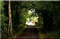
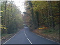
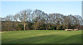
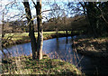
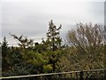
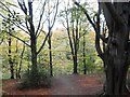
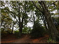
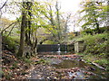
91 photos from this area
Area Information
Key information about the NE39 1NW including its size, population, and administrative classification.
- Area Type
- Postcode
- Area Size
- 5.1 hectares
- Population
- 1956
- Population Density
- 231 people/km²
House Prices in NE39 1NW
8
Properties
£526,143
Average Sold Price
£283,000
Lowest Price
£800,000
Highest Price
Showing 8 properties
| Address | Type | Beds | Baths | Last Sale Price | Last Sale Date | |
|---|---|---|---|---|---|---|
| The Old Mill, Mill Farm Road, Hamsterley Mill, NE39 1NW | Detached | 4 | 2 | £800,000 | Dec 2023 | |
| 2 Mill Farm Road, Hamsterley Mill, NE39 1NW | Detached | 5 | - | £580,000 | May 2018 | |
| North Lodge, 1 Mill Farm Road, Hamsterley Mill, NE39 1NW | Lodge | 2 | 2 | £325,000 | Dec 2017 | |
| Mill House, Mill Farm Road, Hamsterley Mill, NE39 1NW | Retail | 4 | 2 | £710,000 | Aug 2017 | |
| 10 Mill Farm Road, Hamsterley Mill, NE39 1NW | Detached | 4 | 2 | £385,000 | Nov 2016 | |
| 24 Mill Farm Road, Hamsterley Mill, NE39 1NW | house | - | - | £600,000 | Feb 2015 | |
| 6 Mill Farm Road, Hamsterley Mill, NE39 1NW | Detached | 4 | 3 | £283,000 | Sep 2001 | |
| 4 Mill Farm Road, Hamsterley Mill, NE39 1NW | Detached | - | - | - | - |
Energy Efficiency in NE39 1NW
Amenities
Schools
| Rank | School | Type | Entry gender | Ages |
|---|
Explore more schools in this area
Go to Schools tabDemographics
Household Size
Two person
most common
Accommodation Type
Houses
most common
Tenure
76
majority
Ethnic Group
White
most common
Religion
N/A
most common
Household Composition
N/A
most common
Age
47
median
Adults (30-64 years)
most common
Household Deprivation
N/A
with no deprivation
NS-SEC
42
in Lower managerial occupations
Explore more demographic insights in this area
Go to Demographics tabPlanning
Planning Constraints
- Flood RiskPremium
- Ramsar Wetland SitesPremium
- Area of Outstanding Natural BeautyPremium
- Protected Nature ReservePremium
- Protected WoodlandPremium