Area Overview for NE38 7LW
Photos of NE38 7LW
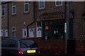
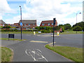
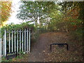
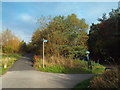
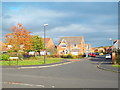
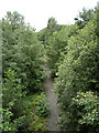
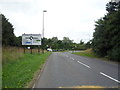
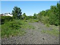
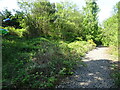
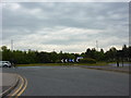
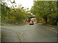
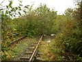
21 photos from this area
Area Information
Key information about the NE38 7LW including its size, population, and administrative classification.
- Area Type
- Postcode
- Area Size
- 2.2 hectares
- Population
- 1556
- Population Density
- 72091 people/km²
House Prices in NE38 7LW
3
Properties
£275,000
Average Sold Price
£275,000
Lowest Price
£275,000
Highest Price
Showing 3 properties
| Address | Type | Beds | Baths | Last Sale Price | Last Sale Date | |
|---|---|---|---|---|---|---|
| Red House, Station Road, Washington, NE38 7LW | Flat | 2 | 1 | £275,000 | Jul 2016 | |
| (the Betting Shop), Adjacent Westwood Club, Station Road, Washington, NE38 7LW | Retail | - | - | - | - | |
| Land North Of, 1 Wilden Road, Pattinson South, Washington, NE38 7LW | commercial | - | - | - | - |
Energy Efficiency in NE38 7LW
Amenities
Schools
| Rank | School | Type | Entry gender | Ages |
|---|
Explore more schools in this area
Go to Schools tabDemographics
Household Size
N/A
most common
Accommodation Type
N/A
most common
Tenure
N/A
majority
Ethnic Group
N/A
most common
Religion
N/A
most common
Household Composition
N/A
most common
Age
N/A
median
N/A
most common
Household Deprivation
N/A
with no deprivation
NS-SEC
N/A
in Lower managerial occupations
Explore more demographic insights in this area
Go to Demographics tabPlanning
Planning Constraints
- Flood RiskPremium
- Ramsar Wetland SitesPremium
- Area of Outstanding Natural BeautyPremium
- Protected Nature ReservePremium
- Protected WoodlandPremium