Area Overview for NE35 9AA
Photos of NE35 9AA
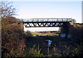
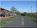
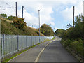
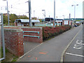
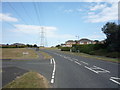
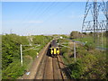
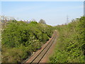
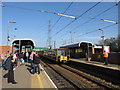
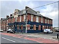
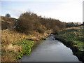
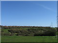
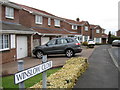
15 photos from this area
Area Information
Key information about the NE35 9AA including its size, population, and administrative classification.
- Area Type
- Postcode
- Area Size
- 2631 m²
- Population
- 1442
- Population Density
- 2055 people/km²
House Prices in NE35 9AA
10
Properties
£110,124
Average Sold Price
£59,995
Lowest Price
£145,000
Highest Price
Showing 10 properties
| Address | Type | Beds | Baths | Last Sale Price | Last Sale Date | |
|---|---|---|---|---|---|---|
| 3 The Terrace, Boldon Colliery, NE35 9AA | Terraced | 3 | - | £107,500 | Jan 2024 | |
| 5 The Terrace, Boldon Colliery, NE35 9AA | house | - | - | £127,500 | Apr 2021 | |
| 9 The Terrace, Boldon Colliery, NE35 9AA | Terraced | 4 | 1 | £145,000 | May 2018 | |
| 1 The Terrace, Boldon Colliery, NE35 9AA | house | - | - | £135,000 | May 2017 | |
| 1A The Terrace, Boldon Colliery, NE35 9AA | Terraced | 3 | - | £80,000 | Mar 2016 | |
| 7 The Terrace, Boldon Colliery, NE35 9AA | Terraced | 3 | - | £136,000 | Jul 2014 | |
| 2 The Terrace, Boldon Colliery, NE35 9AA | Terraced | 3 | 1 | £90,000 | Apr 2014 | |
| 4 The Terrace, Boldon Colliery, NE35 9AA | Terraced | - | - | £59,995 | Oct 2001 | |
| 8 The Terrace, Boldon Colliery, NE35 9AA | Terraced | - | - | - | - | |
| 6 The Terrace, Boldon Colliery, NE35 9AA | house | - | - | - | - |
Energy Efficiency in NE35 9AA
Amenities
Schools
| Rank | School | Type | Entry gender | Ages |
|---|
Explore more schools in this area
Go to Schools tabDemographics
Household Size
Two person
most common
Accommodation Type
Houses
most common
Tenure
82
majority
Ethnic Group
White
most common
Religion
N/A
most common
Household Composition
N/A
most common
Age
47
median
Adults (30-64 years)
most common
Household Deprivation
N/A
with no deprivation
NS-SEC
36
in Lower managerial occupations
Explore more demographic insights in this area
Go to Demographics tabPlanning
Planning Constraints
- Flood RiskPremium
- Ramsar Wetland SitesPremium
- Area of Outstanding Natural BeautyPremium
- Protected Nature ReservePremium
- Protected WoodlandPremium