Area Overview for NE33 4EA
Photos of NE33 4EA
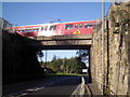
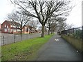
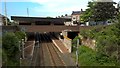
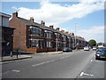
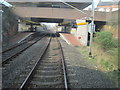
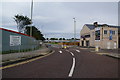
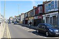
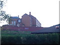
14 photos from this area
Area Information
Key information about the NE33 4EA including its size, population, and administrative classification.
- Area Type
- Postcode
- Area Size
- 1.9 hectares
- Population
- 1111
- Population Density
- 59057 people/km²
House Prices in NE33 4EA
4
Properties
-
Average Sold Price
-
Lowest Price
-
Highest Price
Showing 4 properties
| Address | Type | Beds | Baths | Last Sale Price | Last Sale Date | |
|---|---|---|---|---|---|---|
| Tennis 46M From South Shields Cricket & Westoe Rugby Club, Dean Road 27M From Unnamed Road, Hartington Terrace, South Shields, NE33 4EA | Leisure | - | - | - | - | |
| Mason Gin Bar And Bistro, 35 Dean Road, South Shields, NE33 4EA | restaurant_cafe | - | - | - | - | |
| Westoe Rugby Club, Dean Road, South Shields, NE33 4EA | Leisure | - | - | - | - | |
| Pavillion Flat, Westoe Rugby Club, Dean Road, South Shields, NE33 4EA | Flat | - | - | - | - |
Energy Efficiency in NE33 4EA
Amenities
Schools
| Rank | School | Type | Entry gender | Ages |
|---|
Explore more schools in this area
Go to Schools tabDemographics
Household Size
One person
most common
Accommodation Type
Flats
most common
Tenure
60
majority
Ethnic Group
White
most common
Religion
N/A
most common
Household Composition
N/A
most common
Age
47
median
Adults (30-64 years)
most common
Household Deprivation
N/A
with no deprivation
NS-SEC
26
in Lower managerial occupations
Explore more demographic insights in this area
Go to Demographics tabPlanning
Planning Constraints
- Flood RiskPremium
- Ramsar Wetland SitesPremium
- Area of Outstanding Natural BeautyPremium
- Protected Nature ReservePremium
- Protected WoodlandPremium
- Crime & SafetyPremium