Area Overview for NE33 3BH
Photos of NE33 3BH
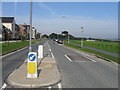
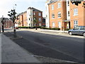
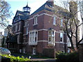
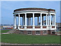
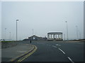
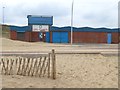
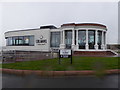
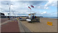
67 photos from this area
Area Information
Key information about the NE33 3BH including its size, population, and administrative classification.
- Area Type
- Postcode
- Area Size
- 6831 m²
- Population
- 1302
- Population Density
- 190598 people/km²
House Prices in NE33 3BH
60
Properties
-
Average Sold Price
-
Lowest Price
-
Highest Price
Showing 60 properties
| Address | Type | Beds | Baths | Last Sale Price | Last Sale Date | |
|---|---|---|---|---|---|---|
| 140 St Vincent Street, South Shields, NE33 3BH | Flat | 3 | 1 | - | - | |
| 210 St Vincent Street, South Shields, NE33 3BH | Maisonette | 3 | 1 | - | - | |
| 250 St Vincent Street, South Shields, NE33 3BH | Maisonette | 3 | 1 | - | - | |
| 218 St Vincent Street, South Shields, NE33 3BH | Terraced | 3 | 1 | - | - | |
| 212 St Vincent Street, South Shields, NE33 3BH | Maisonette | 4 | 1 | - | - | |
| 220 St Vincent Street, South Shields, NE33 3BH | Maisonette | 3 | 1 | - | - | |
| 186 St Vincent Street, South Shields, NE33 3BH | Maisonette | 3 | 1 | - | - | |
| 198 St Vincent Street, South Shields, NE33 3BH | Flat | 2 | - | - | - | |
| 154 St Vincent Street, South Shields, NE33 3BH | Maisonette | 3 | 1 | - | - | |
| 240 St Vincent Street, South Shields, NE33 3BH | Flat | - | - | - | - |
Page 1 of 6
Energy Efficiency in NE33 3BH
Amenities
Schools
| Rank | School | Type | Entry gender | Ages |
|---|
Explore more schools in this area
Go to Schools tabDemographics
Household Size
One person
most common
Accommodation Type
Houses
most common
Tenure
79
majority
Ethnic Group
White
most common
Religion
N/A
most common
Household Composition
N/A
most common
Age
47
median
Adults (30-64 years)
most common
Household Deprivation
N/A
with no deprivation
NS-SEC
32
in Lower managerial occupations
Explore more demographic insights in this area
Go to Demographics tabPlanning
Planning Constraints
- Flood RiskPremium
- Ramsar Wetland SitesPremium
- Area of Outstanding Natural BeautyPremium
- Protected Nature ReservePremium
- Protected WoodlandPremium
- Crime & SafetyPremium