Area Overview for NE32 5AF
Photos of NE32 5AF
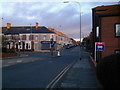
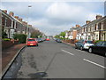
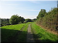
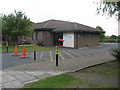
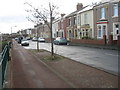
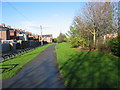

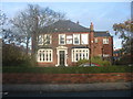
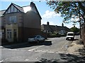
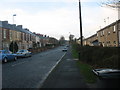
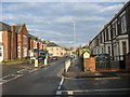
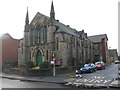
57 photos from this area
Area Information
Key information about the NE32 5AF including its size, population, and administrative classification.
- Area Type
- Postcode
- Area Size
- 5753 m²
- Population
- 1332
- Population Density
- 4819 people/km²
House Prices in NE32 5AF
33
Properties
£66,182
Average Sold Price
£30,000
Lowest Price
£136,000
Highest Price
Showing 33 properties
| Address | Type | Beds | Baths | Last Sale Price | Last Sale Date | |
|---|---|---|---|---|---|---|
| 137 Albert Road, Jarrow, NE32 5AF | Flat | 2 | 1 | £50,000 | Jul 2023 | |
| 177 Albert Road, Jarrow, NE32 5AF | house | 4 | 1 | £136,000 | Apr 2023 | |
| 171 Albert Road, Jarrow, NE32 5AF | Flat | - | - | £68,000 | May 2022 | |
| 135 Albert Road, Jarrow, NE32 5AF | Flat | - | - | £60,000 | Feb 2020 | |
| 143 Albert Road, Jarrow, NE32 5AF | Flat | - | - | £74,000 | Aug 2013 | |
| 141 Albert Road, Jarrow, NE32 5AF | Flat | - | - | £87,500 | Oct 2007 | |
| 155 Albert Road, Jarrow, NE32 5AF | house | - | - | £111,000 | Jun 2004 | |
| 149 Albert Road, Jarrow, NE32 5AF | Flat | - | - | £30,000 | Apr 2001 | |
| 175 Albert Road, Jarrow, NE32 5AF | Terraced | - | - | £46,000 | Jul 1998 | |
| 109 Albert Road, Jarrow, NE32 5AF | Terraced | - | - | £31,500 | Aug 1996 |
Page 1 of 4
Energy Efficiency in NE32 5AF
Amenities
Schools
| Rank | School | Type | Entry gender | Ages |
|---|
Explore more schools in this area
Go to Schools tabDemographics
Household Size
One person
most common
Accommodation Type
Houses
most common
Tenure
68
majority
Ethnic Group
White
most common
Religion
N/A
most common
Household Composition
N/A
most common
Age
47
median
Adults (30-64 years)
most common
Household Deprivation
N/A
with no deprivation
NS-SEC
33
in Lower managerial occupations
Explore more demographic insights in this area
Go to Demographics tabPlanning
Planning Constraints
- Flood RiskPremium
- Ramsar Wetland SitesPremium
- Area of Outstanding Natural BeautyPremium
- Protected Nature ReservePremium
- Protected WoodlandPremium