Area Overview for NE32 3AT
Photos of NE32 3AT
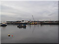
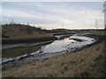
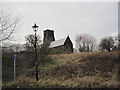
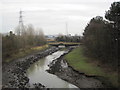
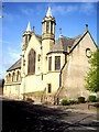
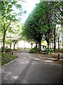
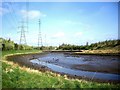
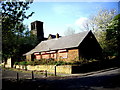
100 photos from this area
Area Information
Key information about the NE32 3AT including its size, population, and administrative classification.
- Area Type
- Postcode
- Area Size
- 4794 m²
- Population
- 1224
- Population Density
- 1172 people/km²
House Prices in NE32 3AT
31
Properties
£51,553
Average Sold Price
£29,250
Lowest Price
£115,000
Highest Price
Showing 31 properties
| Address | Type | Beds | Baths | Last Sale Price | Last Sale Date | |
|---|---|---|---|---|---|---|
| 42 Derby Street, Jarrow, NE32 3AT | Flat | 2 | 1 | £45,000 | Dec 2025 | |
| 11 Derby Street, Jarrow, NE32 3AT | Terraced | 3 | 2 | £115,000 | Apr 2024 | |
| 46 Derby Street, Jarrow, NE32 3AT | Flat | - | - | £48,000 | Mar 2023 | |
| 27 Derby Street, Jarrow, NE32 3AT | Flat | - | - | £30,250 | Jan 2023 | |
| 54 Derby Street, Jarrow, NE32 3AT | Flat | 2 | 1 | £38,500 | Jan 2023 | |
| 43 Derby Street, Jarrow, NE32 3AT | Flat | 2 | - | £51,000 | Mar 2022 | |
| 31 Derby Street, Jarrow, NE32 3AT | Flat | - | - | £50,000 | Nov 2021 | |
| 26 Derby Street, Jarrow, NE32 3AT | Terraced | 3 | 1 | £56,000 | Oct 2019 | |
| 38 Derby Street, Jarrow, NE32 3AT | Terraced | 3 | 1 | £61,500 | Nov 2018 | |
| 49 Derby Street, Jarrow, NE32 3AT | Terraced | 3 | 1 | £78,000 | Feb 2017 |
Page 1 of 4
Energy Efficiency in NE32 3AT
Amenities
Schools
| Rank | School | Type | Entry gender | Ages |
|---|
Explore more schools in this area
Go to Schools tabDemographics
Household Size
One person
most common
Accommodation Type
Houses
most common
Tenure
33
majority
Ethnic Group
White
most common
Religion
N/A
most common
Household Composition
N/A
most common
Age
47
median
Adults (30-64 years)
most common
Household Deprivation
N/A
with no deprivation
NS-SEC
14
in Lower managerial occupations
Explore more demographic insights in this area
Go to Demographics tabPlanning
Planning Constraints
- Flood RiskPremium
- Ramsar Wetland SitesPremium
- Area of Outstanding Natural BeautyPremium
- Protected Nature ReservePremium
- Protected WoodlandPremium