Area Overview for NE30 4PN
Photos of NE30 4PN
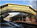
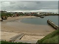
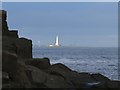
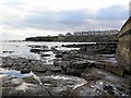
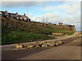
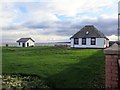
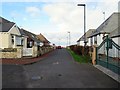
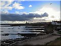
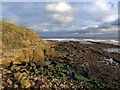
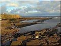
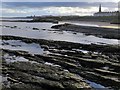
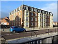
100 photos from this area
Area Information
Key information about the NE30 4PN including its size, population, and administrative classification.
- Area Type
- Postcode
- Area Size
- 7364 m²
- Population
- 1489
- Population Density
- 202188 people/km²
House Prices in NE30 4PN
13
Properties
-
Average Sold Price
-
Lowest Price
-
Highest Price
Showing 13 properties
| Address | Type | Beds | Baths | Last Sale Price | Last Sale Date | |
|---|---|---|---|---|---|---|
| 15 Victoria Crescent, Cullercoats, NE30 4PN | house | 2 | 1 | - | - | |
| Bills Fish Bar, 4A Victoria Crescent, Cullercoats, NE30 4PN | Restaurant | - | - | - | - | |
| 3A Victoria Crescent, Cullercoats, NE30 4PN | Flat | - | - | - | - | |
| 6A Victoria Crescent, Cullercoats, NE30 4PN | Flat | - | - | - | - | |
| Salt House, 6-7 Victoria Crescent, Cullercoats, NE30 4PN | Retail | - | - | - | - | |
| 2A Victoria Crescent, Cullercoats, NE30 4PN | Flat | - | - | - | - | |
| 7A Victoria Crescent, Cullercoats, NE30 4PN | Flat | - | - | - | - | |
| N T C Environmental Services, Public Toilets Northern End Of, Cullercoats Bay, Victoria Crescent, Cullercoats, NE30 4PN | commercial | - | - | - | - | |
| Sea You There, 2-3 Victoria Crescent, Cullercoats, NE30 4PN | restaurant_cafe | - | - | - | - | |
| High Tide, 5 Victoria Crescent, Cullercoats, NE30 4PN | Retail | - | - | - | - |
Page 1 of 2
Energy Efficiency in NE30 4PN
Amenities
Schools
| Rank | School | Type | Entry gender | Ages |
|---|
Explore more schools in this area
Go to Schools tabDemographics
Household Size
One person
most common
Accommodation Type
Houses
most common
Tenure
58
majority
Ethnic Group
White
most common
Religion
N/A
most common
Household Composition
N/A
most common
Age
47
median
Adults (30-64 years)
most common
Household Deprivation
N/A
with no deprivation
NS-SEC
38
in Lower managerial occupations
Explore more demographic insights in this area
Go to Demographics tabPlanning
Planning Constraints
- Flood RiskPremium
- Ramsar Wetland SitesPremium
- Area of Outstanding Natural BeautyPremium
- Protected Nature ReservePremium
- Protected WoodlandPremium
- Crime & SafetyPremium