Area Overview for NE28 7TH
Photos of NE28 7TH
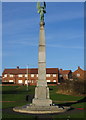
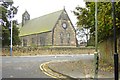
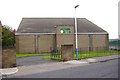
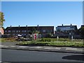
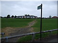
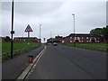
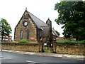
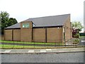
23 photos from this area
Area Information
Key information about the NE28 7TH including its size, population, and administrative classification.
- Area Type
- Postcode
- Area Size
- 1.1 hectares
- Population
- 1698
- Population Density
- 5451 people/km²
House Prices in NE28 7TH
26
Properties
£98,210
Average Sold Price
£40,000
Lowest Price
£157,000
Highest Price
Showing 26 properties
| Address | Type | Beds | Baths | Last Sale Price | Last Sale Date | |
|---|---|---|---|---|---|---|
| 220 Churchill Street, Wallsend, NE28 7TH | house | 3 | 1 | £157,000 | Jul 2025 | |
| 218 Churchill Street, Wallsend, NE28 7TH | Semi-detached | 2 | 1 | £118,500 | Sep 2022 | |
| 222 Churchill Street, Wallsend, NE28 7TH | Retail | 2 | 1 | £115,000 | Jul 2022 | |
| 180 Churchill Street, Wallsend, NE28 7TH | Semi-detached | 3 | 1 | £140,000 | May 2021 | |
| 216 Churchill Street, Wallsend, NE28 7TH | house | - | - | £65,100 | Sep 2011 | |
| 186 Churchill Street, Wallsend, NE28 7TH | Semi-detached | - | - | £100,000 | May 2008 | |
| 210 Churchill Street, Wallsend, NE28 7TH | Semi-detached | - | - | £107,000 | Apr 2008 | |
| 192 Churchill Street, Wallsend, NE28 7TH | Terraced | - | - | £97,500 | Dec 2007 | |
| 198 Churchill Street, Wallsend, NE28 7TH | house | - | - | £42,000 | Apr 2002 | |
| 230 Churchill Street, Wallsend, NE28 7TH | Semi-detached | - | - | £40,000 | Jul 2000 |
Page 1 of 3
Energy Efficiency in NE28 7TH
Amenities
Schools
| Rank | School | Type | Entry gender | Ages |
|---|
Explore more schools in this area
Go to Schools tabDemographics
Household Size
One person
most common
Accommodation Type
Houses
most common
Tenure
38
majority
Ethnic Group
White
most common
Religion
N/A
most common
Household Composition
N/A
most common
Age
47
median
Adults (30-64 years)
most common
Household Deprivation
N/A
with no deprivation
NS-SEC
19
in Lower managerial occupations
Explore more demographic insights in this area
Go to Demographics tabPlanning
Planning Constraints
- Flood RiskPremium
- Ramsar Wetland SitesPremium
- Area of Outstanding Natural BeautyPremium
- Protected Nature ReservePremium
- Protected WoodlandPremium