Area Overview for NE28 6TD
Photos of NE28 6TD
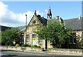
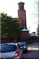
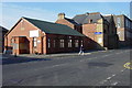
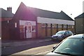
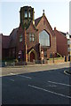
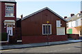
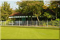
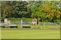
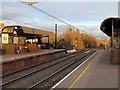
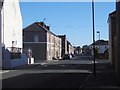
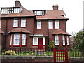
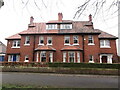
79 photos from this area
Area Information
Key information about the NE28 6TD including its size, population, and administrative classification.
- Area Type
- Postcode
- Area Size
- 2526 m²
- Population
- 1608
- Population Density
- 636626 people/km²
House Prices in NE28 6TD
10
Properties
£90,333
Average Sold Price
£80,000
Lowest Price
£101,000
Highest Price
Showing 10 properties
| Address | Type | Beds | Baths | Last Sale Price | Last Sale Date | |
|---|---|---|---|---|---|---|
| 80 Station Road, Wallsend, NE28 6TD | Flat | 3 | - | £101,000 | Jan 2024 | |
| 84 Station Road, Wallsend, NE28 6TD | Flat | - | - | £80,000 | Dec 2020 | |
| Number 76 Back, Station Road, Wallsend, NE28 6TD | Semi-detached | 3 | - | £90,000 | Jun 2006 | |
| 72 Station Road, Wallsend, NE28 6TD | Flat | 3 | - | - | - | |
| 68 Station Road, Wallsend, NE28 6TD | Retail | - | - | - | - | |
| 70A Station Road, Wallsend, NE28 6TD | Flat | - | - | - | - | |
| 88C Station Road, Wallsend, NE28 6TD | Flat | - | - | - | - | |
| 88B Station Road, Wallsend, NE28 6TD | Flat | - | - | - | - | |
| 88D Station Road, Wallsend, NE28 6TD | Flat | - | - | - | - | |
| 88A Station Road, Wallsend, NE28 6TD | Flat | - | - | - | - |
Energy Efficiency in NE28 6TD
Amenities
Schools
| Rank | School | Type | Entry gender | Ages |
|---|
Explore more schools in this area
Go to Schools tabDemographics
Household Size
One person
most common
Accommodation Type
Flats
most common
Tenure
31
majority
Ethnic Group
White
most common
Religion
N/A
most common
Household Composition
N/A
most common
Age
47
median
Adults (30-64 years)
most common
Household Deprivation
N/A
with no deprivation
NS-SEC
22
in Lower managerial occupations
Explore more demographic insights in this area
Go to Demographics tabPlanning
Planning Constraints
- Flood RiskPremium
- Ramsar Wetland SitesPremium
- Area of Outstanding Natural BeautyPremium
- Protected Nature ReservePremium
- Protected WoodlandPremium