Area Overview for NE26 4NL
Photos of NE26 4NL
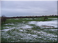
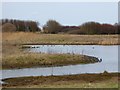
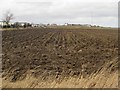
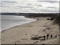
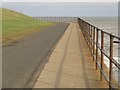
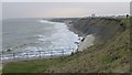
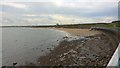
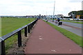
88 photos from this area
Area Information
Key information about the NE26 4NL including its size, population, and administrative classification.
- Area Type
- Postcode
- Area Size
- 1.2 km²
- Population
- 1428
- Population Density
- 648 people/km²
House Prices in NE26 4NL
37
Properties
£249,251
Average Sold Price
£76,000
Lowest Price
£435,000
Highest Price
Showing 37 properties
| Address | Type | Beds | Baths | Last Sale Price | Last Sale Date | |
|---|---|---|---|---|---|---|
| 50 Gerrard Road, Whitley Bay, NE26 4NL | Detached | 2 | 1 | £313,500 | Jun 2025 | |
| 22 Gerrard Road, Whitley Bay, NE26 4NL | Bungalow | 2 | - | £262,000 | Dec 2023 | |
| 16 Gerrard Road, Whitley Bay, NE26 4NL | house | 3 | 1 | £320,000 | Nov 2023 | |
| 64 Gerrard Road, Whitley Bay, NE26 4NL | Bungalow | - | - | £285,000 | Mar 2023 | |
| 30 Gerrard Road, Whitley Bay, NE26 4NL | Bungalow | - | - | £345,678 | Aug 2022 | |
| 10 Gerrard Road, Whitley Bay, NE26 4NL | house | - | - | £395,000 | May 2022 | |
| 28 Gerrard Road, Whitley Bay, NE26 4NL | Retail | 3 | - | £330,000 | Mar 2022 | |
| 44 Gerrard Road, Whitley Bay, NE26 4NL | Bungalow | - | - | £261,500 | Apr 2021 | |
| 66 Gerrard Road, Whitley Bay, NE26 4NL | house | - | - | £435,000 | Jul 2020 | |
| 26 Gerrard Road, Whitley Bay, NE26 4NL | Bungalow | - | - | £320,000 | Oct 2019 |
Page 1 of 4
Energy Efficiency in NE26 4NL
Amenities
Schools
| Rank | School | Type | Entry gender | Ages |
|---|
Explore more schools in this area
Go to Schools tabDemographics
Household Size
Two person
most common
Accommodation Type
Houses
most common
Tenure
93
majority
Ethnic Group
White
most common
Religion
N/A
most common
Household Composition
N/A
most common
Age
47
median
Adults (30-64 years)
most common
Household Deprivation
N/A
with no deprivation
NS-SEC
52
in Lower managerial occupations
Explore more demographic insights in this area
Go to Demographics tabPlanning
Planning Constraints
- Flood RiskPremium
- Ramsar Wetland SitesPremium
- Area of Outstanding Natural BeautyPremium
- Protected Nature ReservePremium
- Protected WoodlandPremium