Area Overview for NE25 9QJ
Photos of NE25 9QJ
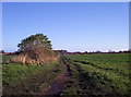
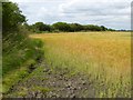
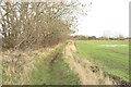
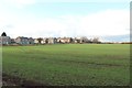
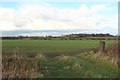
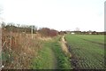
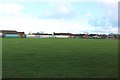
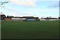
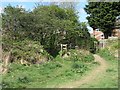
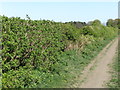
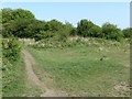
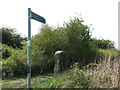
36 photos from this area
Area Information
Key information about the NE25 9QJ including its size, population, and administrative classification.
- Area Type
- Postcode
- Area Size
- 1.1 hectares
- Population
- 1568
- Population Density
- 4929 people/km²
House Prices in NE25 9QJ
31
Properties
£159,258
Average Sold Price
£48,000
Lowest Price
£385,000
Highest Price
Showing 31 properties
| Address | Type | Beds | Baths | Last Sale Price | Last Sale Date | |
|---|---|---|---|---|---|---|
| 43 Wilton Drive, Whitley Bay, NE25 9QJ | house | - | - | £257,500 | Sep 2025 | |
| 61 Wilton Drive, Whitley Bay, NE25 9QJ | Semi-detached | 4 | 2 | £385,000 | Dec 2024 | |
| 41 Wilton Drive, Whitley Bay, NE25 9QJ | Semi-detached | 2 | 1 | £260,000 | Jul 2024 | |
| 44 Wilton Drive, Whitley Bay, NE25 9QJ | Terraced | 5 | 2 | £240,000 | Jan 2021 | |
| 34 Wilton Drive, Whitley Bay, NE25 9QJ | Semi-detached | 3 | 1 | £239,950 | Jul 2020 | |
| 26 Wilton Drive, Whitley Bay, NE25 9QJ | house | - | - | £220,000 | Feb 2020 | |
| 67 Wilton Drive, Whitley Bay, NE25 9QJ | Semi-detached | 6 | 4 | £290,000 | Jul 2017 | |
| 32 Wilton Drive, Whitley Bay, NE25 9QJ | Semi-detached | 3 | 1 | £190,000 | Aug 2014 | |
| 36 Wilton Drive, Whitley Bay, NE25 9QJ | Semi-detached | 3 | - | £172,500 | Apr 2014 | |
| 33 Wilton Drive, Whitley Bay, NE25 9QJ | house | - | - | £130,000 | May 2012 |
Page 1 of 4
Energy Efficiency in NE25 9QJ
Amenities
Schools
| Rank | School | Type | Entry gender | Ages |
|---|
Explore more schools in this area
Go to Schools tabDemographics
Household Size
One person
most common
Accommodation Type
Houses
most common
Tenure
77
majority
Ethnic Group
White
most common
Religion
N/A
most common
Household Composition
N/A
most common
Age
47
median
Adults (30-64 years)
most common
Household Deprivation
N/A
with no deprivation
NS-SEC
42
in Lower managerial occupations
Explore more demographic insights in this area
Go to Demographics tabPlanning
Planning Constraints
- Flood RiskPremium
- Ramsar Wetland SitesPremium
- Area of Outstanding Natural BeautyPremium
- Protected Nature ReservePremium
- Protected WoodlandPremium