Area Overview for NE25 8XS
Photos of NE25 8XS
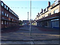
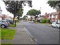
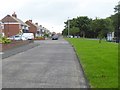
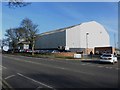
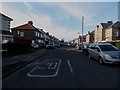
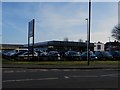
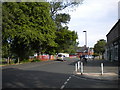
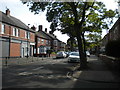
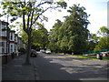
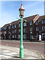
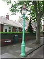
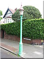
44 photos from this area
Area Information
Key information about the NE25 8XS including its size, population, and administrative classification.
- Area Type
- Postcode
- Area Size
- 1.4 hectares
- Population
- 1732
- Population Density
- 123148 people/km²
House Prices in NE25 8XS
9
Properties
£141,890
Average Sold Price
£41,000
Lowest Price
£236,000
Highest Price
Showing 9 properties
| Address | Type | Beds | Baths | Last Sale Price | Last Sale Date | |
|---|---|---|---|---|---|---|
| 3 Appletree Gardens, Whitley Bay, NE25 8XS | Semi-detached | 3 | 1 | £236,000 | May 2022 | |
| 5 Appletree Gardens, Whitley Bay, NE25 8XS | Semi-detached | 3 | - | £192,500 | Nov 2017 | |
| 4 Appletree Gardens, Whitley Bay, NE25 8XS | Semi-detached | - | - | £155,950 | Dec 2004 | |
| 2 Appletree Gardens, Whitley Bay, NE25 8XS | Semi-detached | - | - | £84,000 | Apr 2003 | |
| 9 Appletree Gardens, Whitley Bay, NE25 8XS | house | - | - | £41,000 | Nov 1995 | |
| 7 Appletree Gardens, Whitley Bay, NE25 8XS | Semi-detached | - | - | - | - | |
| Playing Field At, Appletree Gardens First School, Appletree Gardens, Whitley Bay, NE25 8XS | Leisure | - | - | - | - | |
| N T C Education Service, Nursery Unit, Appletree Gardens First School, Appletree Gardens, Whitley Bay, NE25 8XS | commercial | - | - | - | - | |
| 1 Appletree Gardens, Whitley Bay, NE25 8XS | Semi-detached | - | - | - | - |
Energy Efficiency in NE25 8XS
Amenities
Schools
| Rank | School | Type | Entry gender | Ages |
|---|
Explore more schools in this area
Go to Schools tabDemographics
Household Size
One person
most common
Accommodation Type
Houses
most common
Tenure
73
majority
Ethnic Group
White
most common
Religion
N/A
most common
Household Composition
N/A
most common
Age
47
median
Adults (30-64 years)
most common
Household Deprivation
N/A
with no deprivation
NS-SEC
44
in Lower managerial occupations
Explore more demographic insights in this area
Go to Demographics tabPlanning
Planning Constraints
- Flood RiskPremium
- Ramsar Wetland SitesPremium
- Area of Outstanding Natural BeautyPremium
- Protected Nature ReservePremium
- Protected WoodlandPremium