Area Overview for NE24 2RD
Photos of NE24 2RD
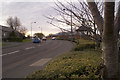
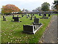
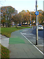
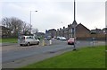
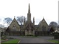
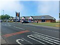
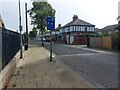
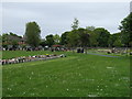
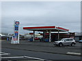
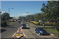
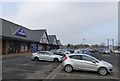

14 photos from this area
Area Information
Key information about the NE24 2RD including its size, population, and administrative classification.
- Area Type
- Postcode
- Area Size
- 3570 m²
- Population
- 1573
- Population Density
- 5396 people/km²
House Prices in NE24 2RD
28
Properties
£59,135
Average Sold Price
£18,500
Lowest Price
£118,000
Highest Price
Showing 28 properties
| Address | Type | Beds | Baths | Last Sale Price | Last Sale Date | |
|---|---|---|---|---|---|---|
| 29 Sidney Street, Blyth, NE24 2RD | Flat | 2 | 1 | £57,000 | Jul 2025 | |
| 11 Sidney Street, Blyth, NE24 2RD | Retail | 3 | 1 | £103,000 | Jan 2023 | |
| 2 Sidney Street, Blyth, NE24 2RD | Terraced | 3 | 1 | £77,500 | Feb 2022 | |
| 39 Sidney Street, Blyth, NE24 2RD | house | - | - | £118,000 | Oct 2020 | |
| 27 SIDNEY STREET, Blyth, NE24 2RD | Flat | 2 | 1 | £32,000 | Jan 2019 | |
| 19 Sidney Street, Blyth, NE24 2RD | Terraced | 3 | 1 | £60,000 | Dec 2018 | |
| 14 Sidney Street, Blyth, NE24 2RD | Terraced | 3 | 1 | £64,000 | Dec 2017 | |
| 9 Sidney Street, Blyth, NE24 2RD | Terraced | 3 | 1 | £75,000 | Mar 2013 | |
| 23 Sidney Street, Blyth, NE24 2RD | Flat | - | - | £49,000 | Dec 2008 | |
| 12 Sidney Street, Blyth, NE24 2RD | Flat | 2 | 1 | £61,000 | Nov 2007 |
Page 1 of 3
Energy Efficiency in NE24 2RD
Amenities
Schools
| Rank | School | Type | Entry gender | Ages |
|---|
Explore more schools in this area
Go to Schools tabDemographics
Household Size
One person
most common
Accommodation Type
Houses
most common
Tenure
44
majority
Ethnic Group
White
most common
Religion
N/A
most common
Household Composition
N/A
most common
Age
47
median
Adults (30-64 years)
most common
Household Deprivation
N/A
with no deprivation
NS-SEC
21
in Lower managerial occupations
Explore more demographic insights in this area
Go to Demographics tabPlanning
Planning Constraints
- Flood RiskPremium
- Ramsar Wetland SitesPremium
- Area of Outstanding Natural BeautyPremium
- Protected Nature ReservePremium
- Protected WoodlandPremium