Area Overview for NE23 7BY
Photos of NE23 7BY
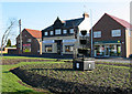
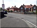
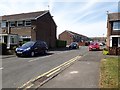
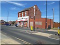
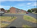
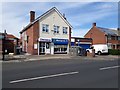
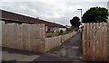
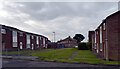
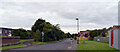
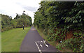
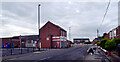
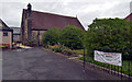
31 photos from this area
Area Information
Key information about the NE23 7BY including its size, population, and administrative classification.
- Area Type
- Postcode
- Area Size
- 3417 m²
- Population
- 1504
- Population Density
- 4767 people/km²
House Prices in NE23 7BY
12
Properties
£95,850
Average Sold Price
£72,500
Lowest Price
£130,000
Highest Price
Showing 12 properties
| Address | Type | Beds | Baths | Last Sale Price | Last Sale Date | |
|---|---|---|---|---|---|---|
| 61 Annitsford Drive, Dudley, NE23 7BY | Semi-detached | 4 | 1 | £130,000 | Jul 2022 | |
| 67 Annitsford Drive, Dudley, NE23 7BY | Terraced | 4 | 2 | £120,000 | Mar 2019 | |
| 47 Annitsford Drive, Dudley, NE23 7BY | Terraced | 2 | 1 | £79,950 | Jul 2018 | |
| 51 Annitsford Drive, Dudley, NE23 7BY | Terraced | 2 | 1 | £81,500 | Jul 2017 | |
| 63 Annitsford Drive, Dudley, NE23 7BY | Terraced | 4 | - | £103,000 | Feb 2014 | |
| 57 Annitsford Drive, Dudley, NE23 7BY | house | - | - | £72,500 | Apr 2013 | |
| 45 Annitsford Drive, Dudley, NE23 7BY | Retail | 4 | 1 | £84,000 | May 2008 | |
| 65 Annitsford Drive, Dudley, NE23 7BY | Terraced | - | - | - | - | |
| 59 Annitsford Drive, Dudley, NE23 7BY | Terraced | - | - | - | - | |
| 55 Annitsford Drive, Dudley, NE23 7BY | house | - | - | - | - |
Page 1 of 2
Energy Efficiency in NE23 7BY
Amenities
Schools
| Rank | School | Type | Entry gender | Ages |
|---|
Explore more schools in this area
Go to Schools tabDemographics
Household Size
One person
most common
Accommodation Type
Houses
most common
Tenure
47
majority
Ethnic Group
White
most common
Religion
N/A
most common
Household Composition
N/A
most common
Age
47
median
Adults (30-64 years)
most common
Household Deprivation
N/A
with no deprivation
NS-SEC
20
in Lower managerial occupations
Explore more demographic insights in this area
Go to Demographics tabPlanning
Planning Constraints
- Flood RiskPremium
- Ramsar Wetland SitesPremium
- Area of Outstanding Natural BeautyPremium
- Protected Nature ReservePremium
- Protected WoodlandPremium