Area Overview for NE23 6NL
Photos of NE23 6NL
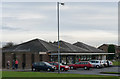
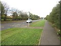
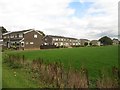
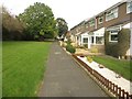
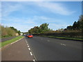
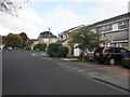
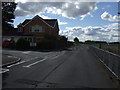
12 photos from this area
Area Information
Key information about the NE23 6NL including its size, population, and administrative classification.
- Area Type
- Postcode
- Area Size
- 6170 m²
- Population
- 1187
- Population Density
- 192369 people/km²
House Prices in NE23 6NL
10
Properties
£74,419
Average Sold Price
£34,000
Lowest Price
£103,000
Highest Price
Showing 10 properties
| Address | Type | Beds | Baths | Last Sale Price | Last Sale Date | |
|---|---|---|---|---|---|---|
| 31 Greystoke Place, Southfield Green, Cramlington, NE23 6NL | Flat | - | - | £99,950 | Jun 2023 | |
| 30 Greystoke Place, Southfield Green, Cramlington, NE23 6NL | Flat | - | - | £43,000 | Nov 2019 | |
| 23 Greystoke Place, Southfield Green, Cramlington, NE23 6NL | Flat | - | - | £103,000 | Jul 2016 | |
| 26 Greystoke Place, Southfield Green, Cramlington, NE23 6NL | Flat | - | - | £102,500 | Nov 2007 | |
| 22 Greystoke Place, Southfield Green, Cramlington, NE23 6NL | Flat | 2 | - | £99,950 | Aug 2005 | |
| 25 Greystoke Place, Southfield Green, Cramlington, NE23 6NL | Flat | - | - | £77,000 | Sep 2003 | |
| 28 Greystoke Place, Southfield Green, Cramlington, NE23 6NL | Flat | - | - | £34,000 | Aug 1997 | |
| 27 Greystoke Place, Southfield Green, Cramlington, NE23 6NL | Flat | - | - | £35,950 | Jul 1995 | |
| 24 Greystoke Place, Southfield Green, Cramlington, NE23 6NL | Flat | - | - | - | - | |
| 29 Greystoke Place, Southfield Green, Cramlington, NE23 6NL | Flat | - | - | - | - |
Energy Efficiency in NE23 6NL
Amenities
Schools
| Rank | School | Type | Entry gender | Ages |
|---|
Explore more schools in this area
Go to Schools tabDemographics
Household Size
Two person
most common
Accommodation Type
Houses
most common
Tenure
85
majority
Ethnic Group
White
most common
Religion
N/A
most common
Household Composition
N/A
most common
Age
47
median
Elderly (65+ years)
most common
Household Deprivation
N/A
with no deprivation
NS-SEC
33
in Lower managerial occupations
Explore more demographic insights in this area
Go to Demographics tabPlanning
Planning Constraints
- Flood RiskPremium
- Ramsar Wetland SitesPremium
- Area of Outstanding Natural BeautyPremium
- Protected Nature ReservePremium
- Protected WoodlandPremium