Area Overview for NE23 6JP
Photos of NE23 6JP
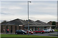
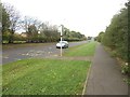
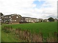
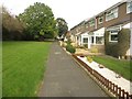
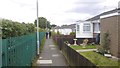
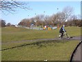
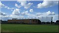
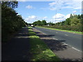
12 photos from this area
Area Information
Key information about the NE23 6JP including its size, population, and administrative classification.
- Area Type
- Postcode
- Area Size
- 1.0 hectares
- Population
- 1358
- Population Density
- 4009 people/km²
House Prices in NE23 6JP
34
Properties
£95,840
Average Sold Price
£49,950
Lowest Price
£137,500
Highest Price
Showing 34 properties
| Address | Type | Beds | Baths | Last Sale Price | Last Sale Date | |
|---|---|---|---|---|---|---|
| 122 Chesterhill, Collingwood Grange, Cramlington, NE23 6JP | Retail | 2 | 1 | £137,500 | Aug 2022 | |
| 107 Chesterhill, Collingwood Grange, Cramlington, NE23 6JP | Terraced | 2 | 1 | £125,000 | Jul 2022 | |
| 120 Chesterhill, Collingwood Grange, Cramlington, NE23 6JP | Terraced | - | - | £90,000 | Feb 2019 | |
| 119 Chesterhill, Collingwood Grange, Cramlington, NE23 6JP | Terraced | 2 | 1 | £93,000 | Oct 2013 | |
| 114 Chesterhill, Collingwood Grange, Cramlington, NE23 6JP | house | 3 | - | £105,000 | Oct 2013 | |
| 104 Chesterhill, Collingwood Grange, Cramlington, NE23 6JP | Terraced | 2 | 1 | £97,000 | Jun 2007 | |
| 99 Chesterhill, Collingwood Grange, Cramlington, NE23 6JP | Terraced | - | - | £116,000 | Aug 2006 | |
| 106 Chesterhill, Collingwood Grange, Cramlington, NE23 6JP | Terraced | - | - | £69,000 | Jan 2004 | |
| 110 Chesterhill, Collingwood Grange, Cramlington, NE23 6JP | Terraced | - | - | £75,950 | Jul 2003 | |
| 111 Chesterhill, Collingwood Grange, Cramlington, NE23 6JP | Terraced | - | - | £49,950 | Mar 2002 |
Page 1 of 4
Energy Efficiency in NE23 6JP
Amenities
Schools
| Rank | School | Type | Entry gender | Ages |
|---|
Explore more schools in this area
Go to Schools tabDemographics
Household Size
One person
most common
Accommodation Type
Houses
most common
Tenure
58
majority
Ethnic Group
White
most common
Religion
N/A
most common
Household Composition
N/A
most common
Age
47
median
Adults (30-64 years)
most common
Household Deprivation
N/A
with no deprivation
NS-SEC
27
in Lower managerial occupations
Explore more demographic insights in this area
Go to Demographics tabPlanning
Planning Constraints
- Flood RiskPremium
- Ramsar Wetland SitesPremium
- Area of Outstanding Natural BeautyPremium
- Protected Nature ReservePremium
- Protected WoodlandPremium