Area Overview for NE22 7LS
Photos of NE22 7LS
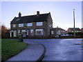
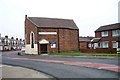
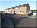
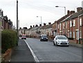
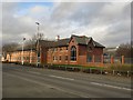
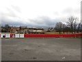
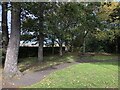
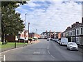
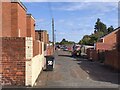
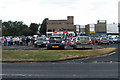
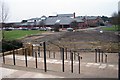
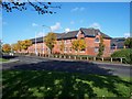
22 photos from this area
Area Information
Key information about the NE22 7LS including its size, population, and administrative classification.
- Area Type
- Postcode
- Area Size
- 9.4 hectares
- Population
- 1827
- Population Density
- 1236 people/km²
House Prices in NE22 7LS
32
Properties
£127,834
Average Sold Price
£45,000
Lowest Price
£235,000
Highest Price
Showing 32 properties
| Address | Type | Beds | Baths | Last Sale Price | Last Sale Date | |
|---|---|---|---|---|---|---|
| 28 Ashtree Drive, Beaufront Park, Bedlington, NE22 7LS | Semi-detached | 2 | 1 | £182,500 | Aug 2025 | |
| 6 Ashtree Drive, Beaufront Park, Bedlington, NE22 7LS | Semi-detached | 3 | 1 | £185,000 | Jun 2023 | |
| 10 Ashtree Drive, Beaufront Park, Bedlington, NE22 7LS | Semi-detached | 3 | - | £171,000 | Jan 2023 | |
| 8 Ashtree Drive, Beaufront Park, Bedlington, NE22 7LS | Detached | 3 | 2 | £200,000 | Aug 2022 | |
| 7 Ashtree Drive, Beaufront Park, Bedlington, NE22 7LS | Detached | 3 | - | £178,000 | Jan 2018 | |
| 22 Ashtree Drive, Beaufront Park, Bedlington, NE22 7LS | Detached | 4 | 2 | £235,000 | Sep 2017 | |
| 27 Ashtree Drive, Beaufront Park, Bedlington, NE22 7LS | Semi-detached | 2 | 1 | £134,000 | Feb 2016 | |
| 26 Ashtree Drive, Beaufront Park, Bedlington, NE22 7LS | Bungalow | 3 | 2 | £195,000 | Mar 2015 | |
| 24 Ashtree Drive, Beaufront Park, Bedlington, NE22 7LS | house | 4 | 2 | £174,999 | Oct 2007 | |
| 13 Ashtree Drive, Beaufront Park, Bedlington, NE22 7LS | Semi-detached | 3 | - | £122,000 | May 2004 |
Page 1 of 4
Energy Efficiency in NE22 7LS
Amenities
Schools
| Rank | School | Type | Entry gender | Ages |
|---|
Explore more schools in this area
Go to Schools tabDemographics
Household Size
One person
most common
Accommodation Type
Houses
most common
Tenure
62
majority
Ethnic Group
White
most common
Religion
N/A
most common
Household Composition
N/A
most common
Age
47
median
Adults (30-64 years)
most common
Household Deprivation
N/A
with no deprivation
NS-SEC
25
in Lower managerial occupations
Explore more demographic insights in this area
Go to Demographics tabPlanning
Planning Constraints
- Flood RiskPremium
- Ramsar Wetland SitesPremium
- Area of Outstanding Natural BeautyPremium
- Protected Nature ReservePremium
- Protected WoodlandPremium