Area Overview for NE22 6NP
Photos of NE22 6NP
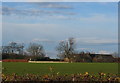
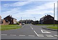
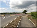
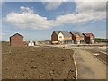
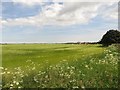
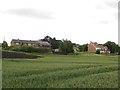
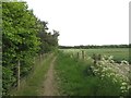
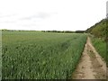
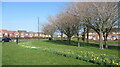
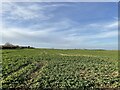
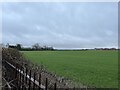
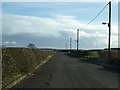
14 photos from this area
Area Information
Key information about the NE22 6NP including its size, population, and administrative classification.
- Area Type
- Postcode
- Area Size
- 1.8 hectares
- Population
- 1832
- Population Density
- 255 people/km²
House Prices in NE22 6NP
45
Properties
£120,741
Average Sold Price
£44,000
Lowest Price
£283,000
Highest Price
Showing 45 properties
| Address | Type | Beds | Baths | Last Sale Price | Last Sale Date | |
|---|---|---|---|---|---|---|
| 33 Skipton Close, Hazelmere, Bedlington, NE22 6NP | Semi-detached | 2 | 1 | £140,000 | Oct 2024 | |
| 2 Skipton Close, Hazelmere, Bedlington, NE22 6NP | Detached | 4 | 2 | £283,000 | Aug 2024 | |
| 16A Skipton Close, Hazelmere, Bedlington, NE22 6NP | Semi-detached | 2 | 1 | £140,000 | Jun 2024 | |
| 9 Skipton Close, Hazelmere, Bedlington, NE22 6NP | Semi-detached | 3 | 1 | £165,000 | Oct 2023 | |
| 19 Skipton Close, Hazelmere, Bedlington, NE22 6NP | Semi-detached | 2 | 1 | £136,500 | Jun 2023 | |
| 5 Skipton Close, Hazelmere, Bedlington, NE22 6NP | Semi-detached | 4 | - | £183,000 | Sep 2021 | |
| 40 Skipton Close, Hazelmere, Bedlington, NE22 6NP | house | - | - | £160,000 | Sep 2021 | |
| 29 Skipton Close, Hazelmere, Bedlington, NE22 6NP | house | - | - | £131,000 | Jun 2021 | |
| 26 Skipton Close, Hazelmere, Bedlington, NE22 6NP | house | - | - | £156,000 | Mar 2021 | |
| 23 Skipton Close, Hazelmere, Bedlington, NE22 6NP | Semi-detached | 3 | 2 | £153,500 | Jul 2019 |
Page 1 of 5
Energy Efficiency in NE22 6NP
Amenities
Schools
| Rank | School | Type | Entry gender | Ages |
|---|
Explore more schools in this area
Go to Schools tabDemographics
Household Size
Two person
most common
Accommodation Type
Houses
most common
Tenure
90
majority
Ethnic Group
White
most common
Religion
N/A
most common
Household Composition
N/A
most common
Age
47
median
Adults (30-64 years)
most common
Household Deprivation
N/A
with no deprivation
NS-SEC
47
in Lower managerial occupations
Explore more demographic insights in this area
Go to Demographics tabPlanning
Planning Constraints
- Flood RiskPremium
- Ramsar Wetland SitesPremium
- Area of Outstanding Natural BeautyPremium
- Protected Nature ReservePremium
- Protected WoodlandPremium