Area Overview for NE21 4HE
Photos of NE21 4HE
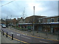
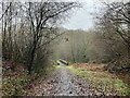
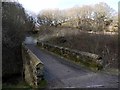
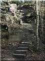
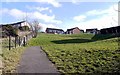
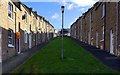
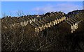
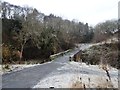
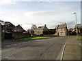
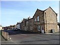
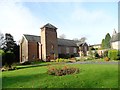
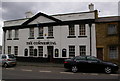
18 photos from this area
Area Information
Key information about the NE21 4HE including its size, population, and administrative classification.
- Area Type
- Postcode
- Area Size
- 1.1 hectares
- Population
- 1137
- Population Density
- 100473 people/km²
House Prices in NE21 4HE
35
Properties
£86,838
Average Sold Price
£38,950
Lowest Price
£120,000
Highest Price
Showing 35 properties
| Address | Type | Beds | Baths | Last Sale Price | Last Sale Date | |
|---|---|---|---|---|---|---|
| 25 Longridge, Blaydon Burn, Blaydon, NE21 4HE | Terraced | 3 | 2 | £120,000 | May 2024 | |
| 10 Longridge, Blaydon Burn, Blaydon, NE21 4HE | house | - | - | £115,000 | Sep 2021 | |
| 29 Longridge, Blaydon Burn, Blaydon, NE21 4HE | house | - | - | £103,000 | Apr 2021 | |
| 26 Longridge, Blaydon Burn, Blaydon, NE21 4HE | Terraced | 3 | 2 | £115,000 | Dec 2017 | |
| 6 Longridge, Blaydon Burn, Blaydon, NE21 4HE | Semi-detached | 2 | 1 | £80,000 | Sep 2016 | |
| 15 Longridge, Blaydon Burn, Blaydon, NE21 4HE | house | - | - | £87,000 | Dec 2012 | |
| 24 Longridge, Blaydon Burn, Blaydon, NE21 4HE | house | 3 | - | £85,000 | Dec 2010 | |
| 20 Longridge, Blaydon Burn, Blaydon, NE21 4HE | house | - | - | £94,000 | Oct 2010 | |
| 32 Longridge, Blaydon Burn, Blaydon, NE21 4HE | house | - | - | £100,000 | Feb 2010 | |
| 30 Longridge, Blaydon Burn, Blaydon, NE21 4HE | Terraced | 3 | 1 | £102,000 | Jan 2008 |
Page 1 of 4
Energy Efficiency in NE21 4HE
Amenities
Schools
| Rank | School | Type | Entry gender | Ages |
|---|
Explore more schools in this area
Go to Schools tabDemographics
Household Size
Two person
most common
Accommodation Type
Houses
most common
Tenure
70
majority
Ethnic Group
White
most common
Religion
N/A
most common
Household Composition
N/A
most common
Age
47
median
Adults (30-64 years)
most common
Household Deprivation
N/A
with no deprivation
NS-SEC
29
in Lower managerial occupations
Explore more demographic insights in this area
Go to Demographics tabPlanning
Planning Constraints
- Flood RiskPremium
- Ramsar Wetland SitesPremium
- Area of Outstanding Natural BeautyPremium
- Protected Nature ReservePremium
- Protected WoodlandPremium