Area Overview for NE20 9EU
Photos of NE20 9EU

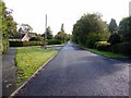
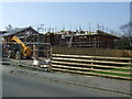
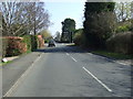
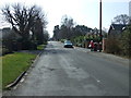
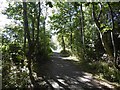
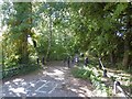
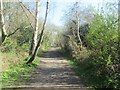
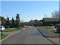


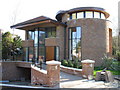
23 photos from this area
Area Information
Key information about the NE20 9EU including its size, population, and administrative classification.
- Area Type
- Postcode
- Area Size
- 5.5 hectares
- Population
- 1302
- Population Density
- 23878 people/km²
House Prices in NE20 9EU
35
Properties
£433,108
Average Sold Price
£10,550
Lowest Price
£850,000
Highest Price
Showing 35 properties
| Address | Type | Beds | Baths | Last Sale Price | Last Sale Date | |
|---|---|---|---|---|---|---|
| Pine Lodge, 22 Woodlands, Darras Hall, Ponteland, NE20 9EU | Detached | - | - | £432,500 | Mar 2025 | |
| 4 Woodlands, Darras Hall, Ponteland, NE20 9EU | Detached | 4 | 1 | £452,500 | Mar 2025 | |
| Chevin Lodge, 39 Woodlands, Darras Hall, Ponteland, NE20 9EU | Detached | 4 | 4 | £10,550 | Nov 2024 | |
| 27 Woodlands, Darras Hall, Ponteland, NE20 9EU | Bungalow | 4 | 1 | £517,500 | Oct 2023 | |
| 2 Woodlands, Darras Hall, Ponteland, NE20 9EU | Bungalow | 3 | 1 | £428,000 | Jul 2023 | |
| 10 Woodlands, Darras Hall, Ponteland, NE20 9EU | Bungalow | 3 | 1 | £455,000 | Jun 2023 | |
| 1 Woodlands, Darras Hall, Ponteland, NE20 9EU | Bungalow | 3 | 1 | £410,000 | Mar 2021 | |
| 7 Woodlands, Darras Hall, Ponteland, NE20 9EU | Bungalow | - | - | £390,000 | Nov 2020 | |
| Holly Lodge, 37 Woodlands, Darras Hall, Ponteland, NE20 9EU | Detached | 5 | 3 | £850,000 | Aug 2020 | |
| 17 Woodlands, Darras Hall, Ponteland, NE20 9EU | Detached | 4 | - | £380,000 | Apr 2015 |
Page 1 of 4
Energy Efficiency in NE20 9EU
Amenities
Schools
| Rank | School | Type | Entry gender | Ages |
|---|
Explore more schools in this area
Go to Schools tabDemographics
Household Size
Two person
most common
Accommodation Type
Houses
most common
Tenure
96
majority
Ethnic Group
White
most common
Religion
N/A
most common
Household Composition
N/A
most common
Age
47
median
Adults (30-64 years)
most common
Household Deprivation
N/A
with no deprivation
NS-SEC
59
in Lower managerial occupations
Explore more demographic insights in this area
Go to Demographics tabPlanning
Planning Constraints
- Flood RiskPremium
- Ramsar Wetland SitesPremium
- Area of Outstanding Natural BeautyPremium
- Protected Nature ReservePremium
- Protected WoodlandPremium