Area Overview for NE20 0RG
Photos of NE20 0RG
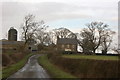
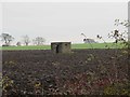
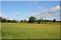
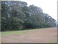

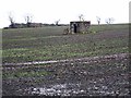
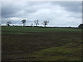
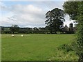
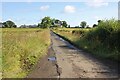
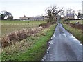
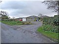
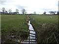
16 photos from this area
Area Information
Key information about the NE20 0RG including its size, population, and administrative classification.
- Area Type
- Postcode
- Area Size
- 3.6 km²
- Population
- 1741
- Population Density
- 23 people/km²
House Prices in NE20 0RG
17
Properties
£681,667
Average Sold Price
£320,000
Lowest Price
£925,000
Highest Price
Showing 17 properties
| Address | Type | Beds | Baths | Last Sale Price | Last Sale Date | |
|---|---|---|---|---|---|---|
| Woodside, U 9022 Military Road Junction To Matfen Junction, Matfen, NE20 0RG | Bungalow | 4 | 2 | £800,000 | Dec 2024 | |
| East Moorhouses, Track From Military Road To East Moorhouses, Matfen, NE20 0RG | house | - | - | £925,000 | Oct 2010 | |
| The Tilery, U 9022 Military Road Junction To Matfen Junction, Matfen, NE20 0RG | Bungalow | - | - | £320,000 | May 2006 | |
| The Hadrian Pet Hotel, Hadrian Pet Hotel, The Old Byre, U 9025 West Moor House Junction To Ouston Junction, Matfen, NE20 0RG | commercial | - | - | - | - | |
| Matfen High House Bungalow, Matfen High House Drive, Matfen, NE20 0RG | Detached | - | - | - | - | |
| High House Barn, Matfen High House Drive, Matfen, NE20 0RG | Leisure | - | - | - | - | |
| The Old Byre, U 9025 West Moor House Junction To Ouston Junction, Matfen, NE20 0RG | Terraced | - | - | - | - | |
| 1 West Moorhouses Farm Cottages, Matfen, NE20 0RG | Semi-detached | - | - | - | - | |
| High House Farm Brewery, Matfen High House Drive, Matfen, NE20 0RG | Industrial | - | - | - | - | |
| 3 High House Cottages, Matfen, NE20 0RG | Terraced | 1 | 1 | - | - |
Page 1 of 2
Energy Efficiency in NE20 0RG
Amenities
Schools
| Rank | School | Type | Entry gender | Ages |
|---|
Explore more schools in this area
Go to Schools tabDemographics
Household Size
Two person
most common
Accommodation Type
Houses
most common
Tenure
56
majority
Ethnic Group
White
most common
Religion
N/A
most common
Household Composition
N/A
most common
Age
47
median
Adults (30-64 years)
most common
Household Deprivation
N/A
with no deprivation
NS-SEC
43
in Lower managerial occupations
Explore more demographic insights in this area
Go to Demographics tabPlanning
Planning Constraints
- Flood RiskPremium
- Ramsar Wetland SitesPremium
- Area of Outstanding Natural BeautyPremium
- Protected Nature ReservePremium
- Protected WoodlandPremium