Area Overview for NE2 2RD
Photos of NE2 2RD
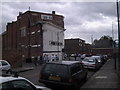
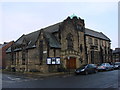
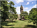
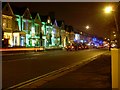
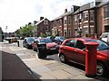
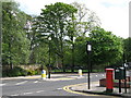
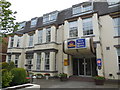
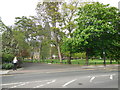

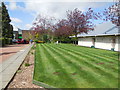
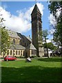
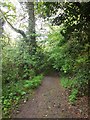
100 photos from this area
Area Information
Key information about the NE2 2RD including its size, population, and administrative classification.
- Area Type
- Postcode
- Area Size
- 7115 m²
- Population
- 1736
- Population Density
- 243994 people/km²
House Prices in NE2 2RD
44
Properties
£359,550
Average Sold Price
£340,000
Lowest Price
£398,500
Highest Price
Showing 44 properties
| Address | Type | Beds | Baths | Last Sale Price | Last Sale Date | |
|---|---|---|---|---|---|---|
| 55 Grosvenor Place, Jesmond, Newcastle Upon Tyne, NE2 2RD | Terraced | 7 | 3 | £340,000 | Sep 2004 | |
| 47 Grosvenor Place, Jesmond, Newcastle Upon Tyne, NE2 2RD | Terraced | 2 | 2 | £398,500 | Jun 2004 | |
| 49 Grosvenor Place, Jesmond, Newcastle Upon Tyne, NE2 2RD | Terraced | 9 | 2 | £340,150 | Aug 2003 | |
| Ashton Court, 27 Grosvenor Place, Jesmond, Newcastle Upon Tyne, NE2 2RD | Terraced | 9 | 3 | - | - | |
| Flat 1, 31 Grosvenor Place, Jesmond, Newcastle Upon Tyne, NE2 2RD | Flat | 9 | - | - | - | |
| Former Coniscliffe Rest Home, 35-43 Grosvenor Place, Jesmond, Newcastle Upon Tyne, NE2 2RD | Retirement | - | - | - | - | |
| Flat 4, 25 Grosvenor Place, Jesmond, Newcastle Upon Tyne, NE2 2RD | Flat | 1 | 1 | - | - | |
| Flat 2, 31 Grosvenor Place, Jesmond, Newcastle Upon Tyne, NE2 2RD | Flat | - | - | - | - | |
| 33 Grosvenor Place, Jesmond, Newcastle Upon Tyne, NE2 2RD | Flat | 10 | 8 | - | - | |
| 59 Grosvenor Place, Jesmond, Newcastle Upon Tyne, NE2 2RD | house | - | - | - | - |
Page 1 of 5
Energy Efficiency in NE2 2RD
Amenities
Schools
| Rank | School | Type | Entry gender | Ages |
|---|
Explore more schools in this area
Go to Schools tabDemographics
Household Size
Family (3-5 people)
most common
Accommodation Type
Houses
most common
Tenure
35
majority
Ethnic Group
White
most common
Religion
N/A
most common
Household Composition
N/A
most common
Age
22
median
Young Adults (15-29 years)
most common
Household Deprivation
N/A
with no deprivation
NS-SEC
22
in Lower managerial occupations
Explore more demographic insights in this area
Go to Demographics tabPlanning
Planning Constraints
- Flood RiskPremium
- Ramsar Wetland SitesPremium
- Area of Outstanding Natural BeautyPremium
- Protected Nature ReservePremium
- Protected WoodlandPremium