Area Overview for NE2 2JE
Photos of NE2 2JE
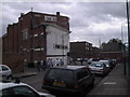
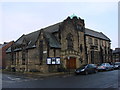
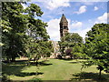
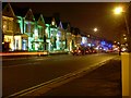
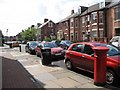
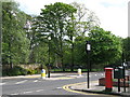
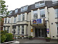
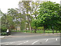

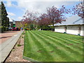
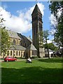
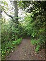
100 photos from this area
Area Information
Key information about the NE2 2JE including its size, population, and administrative classification.
- Area Type
- Postcode
- Area Size
- 8733 m²
- Population
- 2124
- Population Density
- 10760 people/km²
House Prices in NE2 2JE
71
Properties
£192,205
Average Sold Price
£46,000
Lowest Price
£443,000
Highest Price
Showing 71 properties
| Address | Type | Beds | Baths | Last Sale Price | Last Sale Date | |
|---|---|---|---|---|---|---|
| 19 Shortridge Terrace, Jesmond, Newcastle Upon Tyne, NE2 2JE | Flat | 3 | 1 | £205,000 | Oct 2023 | |
| 63 Shortridge Terrace, Jesmond, Newcastle Upon Tyne, NE2 2JE | Flat | - | - | £220,750 | Aug 2023 | |
| 65 Shortridge Terrace, Jesmond, Newcastle Upon Tyne, NE2 2JE | Flat | 3 | 1 | £220,750 | Aug 2023 | |
| 44 Shortridge Terrace, Jesmond, Newcastle Upon Tyne, NE2 2JE | Flat | 3 | 3 | £385,000 | Jul 2023 | |
| 42 Shortridge Terrace, Jesmond, Newcastle Upon Tyne, NE2 2JE | Maisonette | 6 | 2 | £385,000 | Jul 2023 | |
| 46 Shortridge Terrace, Jesmond, Newcastle Upon Tyne, NE2 2JE | Flat | 3 | 1 | £214,550 | Jun 2023 | |
| 20 Shortridge Terrace, Jesmond, Newcastle Upon Tyne, NE2 2JE | Flat | 2 | 1 | £210,000 | Jun 2022 | |
| 14 Shortridge Terrace, Jesmond, Newcastle Upon Tyne, NE2 2JE | Flat | 3 | 1 | £195,000 | Jun 2022 | |
| 16 Shortridge Terrace, Jesmond, Newcastle Upon Tyne, NE2 2JE | Flat | 2 | 1 | £195,000 | Jun 2022 | |
| 48 Shortridge Terrace, Jesmond, Newcastle Upon Tyne, NE2 2JE | Flat | 3 | 2 | £212,500 | Apr 2022 |
Page 1 of 8
Energy Efficiency in NE2 2JE
Amenities
Schools
| Rank | School | Type | Entry gender | Ages |
|---|
Explore more schools in this area
Go to Schools tabDemographics
Household Size
Family (3-5 people)
most common
Accommodation Type
Houses
most common
Tenure
35
majority
Ethnic Group
White
most common
Religion
N/A
most common
Household Composition
N/A
most common
Age
22
median
Young Adults (15-29 years)
most common
Household Deprivation
N/A
with no deprivation
NS-SEC
21
in Lower managerial occupations
Explore more demographic insights in this area
Go to Demographics tabPlanning
Planning Constraints
- Flood RiskPremium
- Ramsar Wetland SitesPremium
- Area of Outstanding Natural BeautyPremium
- Protected Nature ReservePremium
- Protected WoodlandPremium