Area Overview for NE2 2DW
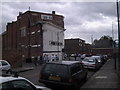
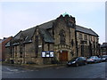
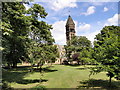
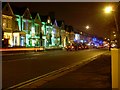
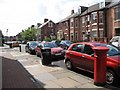
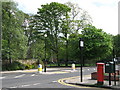
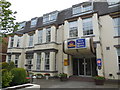
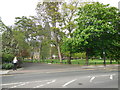
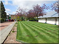
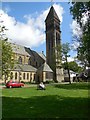
Photos of NE2 2DW

Area Information
Living in NE2 2DW means being part of a small, tightly knit residential cluster in northeast England. With a population of just 1,804, the area is compact, offering a quiet, community-focused lifestyle. The demographics reflect a youthful presence, with a median age of 22 and young adults aged 15–29 making up the majority of residents. This suggests a dynamic, possibly student or early-career population. The area’s proximity to key transport hubs, including multiple rail stations and the Newcastle Airport, positions it as a practical base for commuters or those needing easy access to regional travel. Daily life here is shaped by its mix of retail and transport options, from major supermarkets like Tesco Jesmond to nearby metro stops. While the area lacks large parks or natural reserves, its low flood risk and safety score of 71/100 make it an appealing choice for those prioritising security and reliability. The small size means the community is likely to feel familiar, with residents knowing their neighbours and local amenities well.
- Area Type
- Postcode
- Area Size
- Not available
- Population
- 1804
- Population Density
- 14083 people/km²
The property market in NE2 2DW is characterised by a low home ownership rate of 25%, indicating that the majority of residents are renters rather than homeowners. The accommodation type is predominantly flats, which is typical for smaller, densely populated areas. This suggests that the housing stock is limited in size and variety, with little scope for larger family homes or detached properties. Buyers considering this area should expect a market focused on rental opportunities rather than long-term investment in owner-occupied homes. The small population and compact footprint of NE2 2DW mean that property availability is likely to be constrained, with limited scope for new developments. For those seeking a home, the area’s affordability and proximity to transport links may outweigh its limitations in housing diversity.
House Prices in NE2 2DW
No properties found in this postcode.
Energy Efficiency in NE2 2DW
Residents of NE2 2DW have access to a range of essential amenities within practical reach. Major supermarkets such as Tesco Jesmond, Waitrose Little, and Sainsburys Newcastle provide convenient shopping options, while nearby rail stations like Manors, Dunston, and Metrocentre offer easy access to broader regional networks. The proximity to Newcastle Airport ensures swift travel for business or leisure trips. The area’s metro stops, including West Jesmond and Ilford Road, further enhance connectivity for daily commutes. While there are no large parks or recreational spaces mentioned, the presence of multiple retail and transport hubs suggests a lifestyle focused on practicality and accessibility. The compact nature of the area means residents can reach key services quickly, though the lack of detailed information on leisure facilities implies a focus on functional rather than expansive amenities.
Amenities
Schools
| Rank | School | Type | Entry gender | Ages |
|---|
Explore more schools in this area
Go to Schools tabDemographics
NE2 2DW has a median age of 22, with the majority of its 1,804 residents falling within the 15–29 age range. This indicates a youthful, possibly transient population, often seen in areas with student or young professional demographics. Home ownership here is relatively low at 25%, suggesting that most residents rent their accommodation. The predominant housing type is flats, which aligns with the area’s compact nature and limited space for larger properties. The predominant ethnic group is White, though no specific data on diversity or deprivation levels is provided. The low home ownership rate and young age profile imply a rental market skewed towards short-term stays, which could affect long-term stability for buyers. The area’s small size also means its population is unlikely to grow significantly, maintaining a consistent, close-knit community dynamic.
Household Size
Accommodation Type
Tenure
Ethnic Group
Religion
Household Composition
Age
Household Deprivation
NS-SEC
Explore more demographic insights in this area
Go to Demographics tabPlanning
Planning Constraints
- Flood RiskPremium
- Ramsar Wetland SitesPremium
- Area of Outstanding Natural BeautyPremium
- Protected Nature ReservePremium
- Protected WoodlandPremium