Area Overview for NE19 2BN
Photos of NE19 2BN
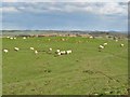
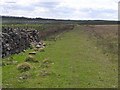
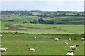
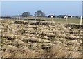
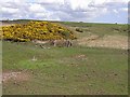
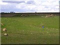
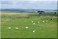
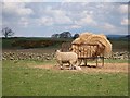
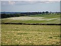
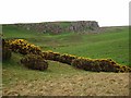
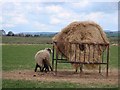
11 photos from this area
Area Information
Key information about the NE19 2BN including its size, population, and administrative classification.
- Area Type
- Postcode
- Area Size
- 1.6 km²
- Population
- 2183
- Population Density
- 12 people/km²
House Prices in NE19 2BN
7
Properties
£236,125
Average Sold Price
£163,000
Lowest Price
£305,000
Highest Price
Showing 7 properties
| Address | Type | Beds | Baths | Last Sale Price | Last Sale Date | |
|---|---|---|---|---|---|---|
| Easter Cottage, U 5013 Plashetts To Great Bavington Junction, Great Bavington, NE19 2BN | Semi-detached | - | - | £163,000 | Aug 2019 | |
| Curlew Cottage, U 5013 Plashetts To Great Bavington Junction, Great Bavington, NE19 2BN | Terraced | - | - | £305,000 | Jan 2007 | |
| Easter House, U 5013 Plashetts To Great Bavington Junction, Great Bavington, NE19 2BN | Semi-detached | - | - | £291,500 | May 2005 | |
| Carr House, U 5013 Plashetts To Great Bavington Junction, Great Bavington, NE19 2BN | Detached | 4 | 3 | £185,000 | Feb 1995 | |
| Carr Cottage, U 5013 Plashetts To Great Bavington Junction, Great Bavington, NE19 2BN | house | - | - | - | - | |
| Ladywell, U 5013 Plashetts To Great Bavington Junction, Great Bavington, NE19 2BN | Detached | - | - | - | - | |
| The Old Manse, U 5013 Plashetts To Great Bavington Junction, Great Bavington, NE19 2BN | house | - | - | - | - |
Energy Efficiency in NE19 2BN
Amenities
Schools
| Rank | School | Type | Entry gender | Ages |
|---|
Explore more schools in this area
Go to Schools tabDemographics
Household Size
Two person
most common
Accommodation Type
Houses
most common
Tenure
62
majority
Ethnic Group
White
most common
Religion
N/A
most common
Household Composition
N/A
most common
Age
47
median
Adults (30-64 years)
most common
Household Deprivation
N/A
with no deprivation
NS-SEC
31
in Lower managerial occupations
Explore more demographic insights in this area
Go to Demographics tabPlanning
Planning Constraints
- Flood RiskPremium
- Ramsar Wetland SitesPremium
- Area of Outstanding Natural BeautyPremium
- Protected Nature ReservePremium
- Protected WoodlandPremium