Area Overview for NE16 6BQ
Photos of NE16 6BQ
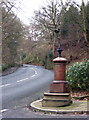
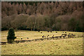

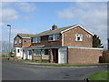

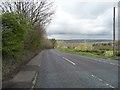
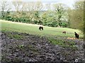

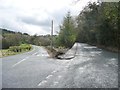
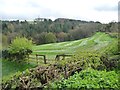
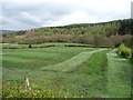
20 photos from this area
Area Information
Key information about the NE16 6BQ including its size, population, and administrative classification.
- Area Type
- Postcode
- Area Size
- 8.4 hectares
- Population
- 1413
- Population Density
- 134 people/km²
House Prices in NE16 6BQ
10
Properties
£116,290
Average Sold Price
£38,500
Lowest Price
£210,000
Highest Price
Showing 10 properties
| Address | Type | Beds | Baths | Last Sale Price | Last Sale Date | |
|---|---|---|---|---|---|---|
| 55 Busty Bank, Burnopfield, NE16 6BQ | Semi-detached | 2 | 1 | £151,000 | May 2024 | |
| 48 Busty Bank, Burnopfield, NE16 6BQ | Semi-detached | 2 | 1 | £122,000 | Jan 2021 | |
| 53 Busty Bank, Burnopfield, NE16 6BQ | Detached | - | - | £210,000 | Aug 2003 | |
| 52 Busty Bank, Burnopfield, NE16 6BQ | Terraced | - | - | £38,500 | Aug 1997 | |
| 50 Busty Bank, Burnopfield, NE16 6BQ | house | - | - | £59,950 | Jan 1997 | |
| 47 Busty Bank, Burnopfield, NE16 6BQ | Detached | - | - | - | - | |
| 56 Busty Bank, Burnopfield, NE16 6BQ | house | - | - | - | - | |
| 49 Busty Bank, Burnopfield, NE16 6BQ | house | - | - | - | - | |
| 57 Busty Bank, Burnopfield, NE16 6BQ | Detached | - | - | - | - | |
| 51 Busty Bank, Burnopfield, NE16 6BQ | Terraced | - | - | - | - |
Energy Efficiency in NE16 6BQ
Amenities
Schools
| Rank | School | Type | Entry gender | Ages |
|---|
Explore more schools in this area
Go to Schools tabDemographics
Household Size
Two person
most common
Accommodation Type
Houses
most common
Tenure
77
majority
Ethnic Group
White
most common
Religion
N/A
most common
Household Composition
N/A
most common
Age
47
median
Adults (30-64 years)
most common
Household Deprivation
N/A
with no deprivation
NS-SEC
40
in Lower managerial occupations
Explore more demographic insights in this area
Go to Demographics tabPlanning
Planning Constraints
- Flood RiskPremium
- Ramsar Wetland SitesPremium
- Area of Outstanding Natural BeautyPremium
- Protected Nature ReservePremium
- Protected WoodlandPremium