Area Overview for NE16 5AR
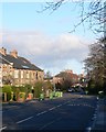
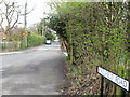
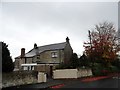
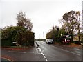
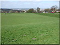
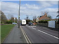
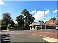
Photos of NE16 5AR

Area Information
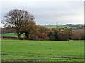
Living in NE16 5AR offers a quiet, residential experience in a small cluster of homes with a population of 1,404. This area is defined by its compact size and the presence of family-oriented housing, reflecting a community rooted in stability. The median age of 47 suggests a mature demographic, with most residents falling between 30 and 64 years old. Daily life here is shaped by proximity to local amenities and schools, while the low crime risk and absence of environmental constraints make it a practical choice for those prioritising safety and ease of living. The area’s small footprint means it is likely surrounded by larger towns or cities, offering access to broader services without the density of urban centres. For buyers, NE16 5AR represents a blend of simplicity and convenience, with homes that are predominantly owner-occupied and suited to long-term residency.
- Area Type
- Postcode
- Area Size
- Not available
- Population
- 1404
- Population Density
- 3400 people/km²
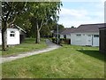
The property market in NE16 5AR is dominated by owner-occupied homes, with 90% of properties owned by residents rather than rented. This high rate of home ownership points to a community where long-term residency is the norm, often associated with family homes. The accommodation type is exclusively houses, which are typically larger and more suited to multi-generational living or growing families. Given the area’s small size, the housing stock is likely limited in variety, with fewer apartments or flats. For buyers, this means a market where properties are likely to be in stable demand, particularly for those seeking a family-friendly environment. The absence of rental properties suggests a focus on private ownership, which may appeal to investors seeking long-term value.
House Prices in NE16 5AR
No properties found in this postcode.
Energy Efficiency in NE16 5AR
The lifestyle in NE16 5AR is shaped by its proximity to essential amenities. Retail options include Morrisons Daily, Co-op Whickham, and Tesco Whickham, ensuring everyday shopping needs are met without long trips. Rail and metro stations provide access to larger urban centres, while the bus stop at Rhodes Street connects to local routes. Though the area is small, these amenities contribute to a self-contained yet connected community. The presence of multiple schools and low crime risk further enhances the appeal for families. The combination of retail, transport, and educational facilities creates a balance between convenience and the ability to access broader opportunities beyond the immediate neighbourhood.
Amenities
Schools
Residents of NE16 5AR have access to several primary schools, including Fellside Community Primary School, Fellside Junior School, and Fellside Infant School, all of which are rated ‘good’ by Ofsted. Whickham School serves as both a primary school and an academy with a ‘good’ rating. This mix of school types provides families with options ranging from traditional primary education to academy-led institutions. The concentration of primary schools in the area indicates a focus on early education, which is likely to be a key consideration for families with young children. The presence of multiple schools within close proximity reduces the need for long commutes, supporting a lifestyle where children can attend local institutions.
| Rank | School | Type | Entry gender | Ages |
|---|
Explore more schools in this area
Go to Schools tabDemographics
The community in NE16 5AR is predominantly composed of adults aged 30 to 64, with a median age of 47. This suggests a population largely in their prime working years, likely with established careers and families. Home ownership is exceptionally high at 90%, indicating a stable, long-term resident base. The accommodation type is primarily houses, which aligns with the area’s character as a residential cluster rather than a high-density development. The predominant ethnic group is White, reflecting a homogenous demographic profile. While no specific data on deprivation is provided, the high home ownership rate and low crime risk suggest a community with relatively strong economic foundations. This demographic structure supports a lifestyle focused on family living, with minimal turnover of residents.
Household Size
Accommodation Type
Tenure
Ethnic Group
Religion
Household Composition
Age
Household Deprivation
NS-SEC
Explore more demographic insights in this area
Go to Demographics tabPlanning
Planning Constraints
- Flood RiskPremium
- Ramsar Wetland SitesPremium
- Area of Outstanding Natural BeautyPremium
- Protected Nature ReservePremium
- Protected WoodlandPremium