Area Overview for NE16 4RP
Photos of NE16 4RP
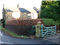
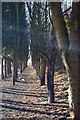
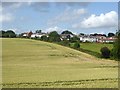
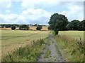
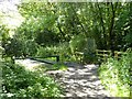
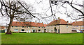
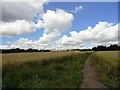
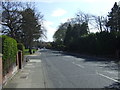
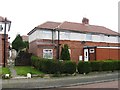
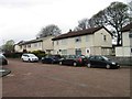
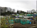
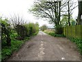
18 photos from this area
Area Information
Key information about the NE16 4RP including its size, population, and administrative classification.
- Area Type
- Postcode
- Area Size
- 8.6 hectares
- Population
- 1388
- Population Density
- 835 people/km²
House Prices in NE16 4RP
48
Properties
£107,942
Average Sold Price
£39,800
Lowest Price
£147,500
Highest Price
Showing 48 properties
| Address | Type | Beds | Baths | Last Sale Price | Last Sale Date | |
|---|---|---|---|---|---|---|
| 5 The Drive, Whickham Central, Whickham, NE16 4RP | Terraced | 2 | 1 | £147,500 | Aug 2025 | |
| 15 The Drive, Whickham Central, Whickham, NE16 4RP | Terraced | 2 | 1 | £126,000 | Jul 2023 | |
| 19 The Drive, Whickham Central, Whickham, NE16 4RP | house | 2 | - | £125,000 | Jul 2021 | |
| 87 The Drive, Whickham Central, Whickham, NE16 4RP | house | - | - | £125,000 | May 2021 | |
| 25 The Drive, Whickham Central, Whickham, NE16 4RP | house | - | - | £120,000 | Jan 2021 | |
| 75 The Drive, Whickham Central, Whickham, NE16 4RP | Semi-detached | 2 | - | £95,000 | Aug 2020 | |
| 57 The Drive, Whickham Central, Whickham, NE16 4RP | Semi-detached | 3 | - | £118,500 | Aug 2017 | |
| 89 The Drive, Whickham Central, Whickham, NE16 4RP | house | 2 | - | £111,500 | May 2012 | |
| 51 The Drive, Whickham Central, Whickham, NE16 4RP | house | - | - | £72,000 | Mar 2011 | |
| 55 The Drive, Whickham Central, Whickham, NE16 4RP | Semi-detached | - | - | £120,000 | Jun 2008 |
Page 1 of 5
Energy Efficiency in NE16 4RP
Amenities
Schools
| Rank | School | Type | Entry gender | Ages |
|---|
Explore more schools in this area
Go to Schools tabDemographics
Household Size
Two person
most common
Accommodation Type
Houses
most common
Tenure
77
majority
Ethnic Group
White
most common
Religion
N/A
most common
Household Composition
N/A
most common
Age
47
median
Adults (30-64 years)
most common
Household Deprivation
N/A
with no deprivation
NS-SEC
36
in Lower managerial occupations
Explore more demographic insights in this area
Go to Demographics tabPlanning
Planning Constraints
- Flood RiskPremium
- Ramsar Wetland SitesPremium
- Area of Outstanding Natural BeautyPremium
- Protected Nature ReservePremium
- Protected WoodlandPremium