Area Overview for NE15 9XB
Photos of NE15 9XB
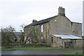
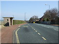
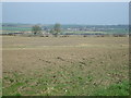
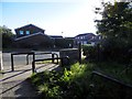
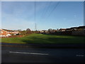
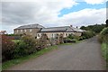
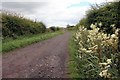
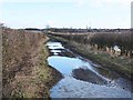
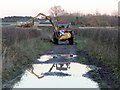
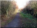
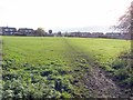
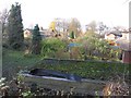
23 photos from this area
Area Information
Key information about the NE15 9XB including its size, population, and administrative classification.
- Area Type
- Postcode
- Area Size
- 5980 m²
- Population
- 1385
- Population Density
- 500 people/km²
House Prices in NE15 9XB
12
Properties
£185,163
Average Sold Price
£98,950
Lowest Price
£311,500
Highest Price
Showing 12 properties
| Address | Type | Beds | Baths | Last Sale Price | Last Sale Date | |
|---|---|---|---|---|---|---|
| 10 Canonsfield Close, Chapel Park, Newcastle Upon Tyne, NE15 9XB | Detached | 4 | 2 | £293,000 | Dec 2020 | |
| 6 Canonsfield Close, Chapel Park, Newcastle Upon Tyne, NE15 9XB | Semi-detached | 3 | 2 | £182,000 | Oct 2020 | |
| 4 Canonsfield Close, Chapel Park, Newcastle Upon Tyne, NE15 9XB | Detached | 4 | 1 | £151,000 | Dec 2019 | |
| 5 Canonsfield Close, Chapel Park, Newcastle Upon Tyne, NE15 9XB | Detached | 4 | - | £311,500 | Jun 2016 | |
| 1 Canonsfield Close, Chapel Park, Newcastle Upon Tyne, NE15 9XB | Semi-detached | 3 | 1 | £165,000 | May 2015 | |
| 2 Canonsfield Close, Chapel Park, Newcastle Upon Tyne, NE15 9XB | Semi-detached | 3 | - | £155,500 | Jul 2014 | |
| 8 Canonsfield Close, Chapel Park, Newcastle Upon Tyne, NE15 9XB | house | - | - | £170,000 | Feb 2011 | |
| 4A Canonsfield Close, Chapel Park, Newcastle Upon Tyne, NE15 9XB | house | - | - | £250,000 | May 2009 | |
| 7 Canonsfield Close, Chapel Park, Newcastle Upon Tyne, NE15 9XB | Semi-detached | - | - | £187,000 | Aug 2005 | |
| 9 Canonsfield Close, Chapel Park, Newcastle Upon Tyne, NE15 9XB | Semi-detached | - | - | £153,000 | Sep 2003 |
Page 1 of 2
Energy Efficiency in NE15 9XB
Amenities
Schools
| Rank | School | Type | Entry gender | Ages |
|---|
Explore more schools in this area
Go to Schools tabDemographics
Household Size
Two person
most common
Accommodation Type
Houses
most common
Tenure
91
majority
Ethnic Group
White
most common
Religion
N/A
most common
Household Composition
N/A
most common
Age
47
median
Adults (30-64 years)
most common
Household Deprivation
N/A
with no deprivation
NS-SEC
39
in Lower managerial occupations
Explore more demographic insights in this area
Go to Demographics tabPlanning
Planning Constraints
- Flood RiskPremium
- Ramsar Wetland SitesPremium
- Area of Outstanding Natural BeautyPremium
- Protected Nature ReservePremium
- Protected WoodlandPremium