Area Overview for NE15 9FU
Photos of NE15 9FU

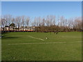
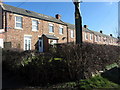
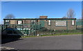
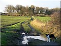
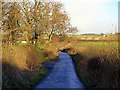
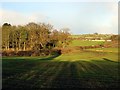
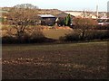
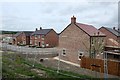
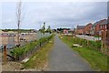
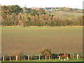
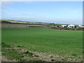
36 photos from this area
Area Information
Key information about the NE15 9FU including its size, population, and administrative classification.
- Area Type
- Postcode
- Area Size
- 1.1 hectares
- Population
- 1583
- Population Density
- 148709 people/km²
House Prices in NE15 9FU
20
Properties
£242,666
Average Sold Price
£204,246
Lowest Price
£309,995
Highest Price
Showing 20 properties
| Address | Type | Beds | Baths | Last Sale Price | Last Sale Date | |
|---|---|---|---|---|---|---|
| 20 Larch Avenue, Newcastle Upon Tyne, NE15 9FU | house | - | - | £269,995 | Jun 2024 | |
| 10 Larch Avenue, Newcastle Upon Tyne, NE15 9FU | house | - | - | £224,995 | Sep 2023 | |
| 15 Larch Avenue, Newcastle Upon Tyne, NE15 9FU | house | - | - | £214,995 | Sep 2023 | |
| 17 Larch Avenue, Newcastle Upon Tyne, NE15 9FU | house | - | - | £309,995 | Aug 2023 | |
| 19 Larch Avenue, Newcastle Upon Tyne, NE15 9FU | house | - | - | £302,096 | Aug 2023 | |
| 7 Larch Avenue, Newcastle Upon Tyne, NE15 9FU | Detached | 3 | 2 | £204,246 | Aug 2023 | |
| 8 Larch Avenue, Newcastle Upon Tyne, NE15 9FU | Semi-detached | 3 | 2 | £216,855 | Aug 2023 | |
| 11 Larch Avenue, Newcastle Upon Tyne, NE15 9FU | house | - | - | £250,880 | Jul 2023 | |
| 4 Larch Avenue, Newcastle Upon Tyne, NE15 9FU | house | - | - | £219,995 | Jun 2023 | |
| 5 Larch Avenue, Newcastle Upon Tyne, NE15 9FU | house | - | - | £207,106 | Jun 2023 |
Page 1 of 2
Energy Efficiency in NE15 9FU
Amenities
Schools
| Rank | School | Type | Entry gender | Ages |
|---|
Explore more schools in this area
Go to Schools tabDemographics
Household Size
Two person
most common
Accommodation Type
Houses
most common
Tenure
81
majority
Ethnic Group
White
most common
Religion
N/A
most common
Household Composition
N/A
most common
Age
47
median
Adults (30-64 years)
most common
Household Deprivation
N/A
with no deprivation
NS-SEC
34
in Lower managerial occupations
Explore more demographic insights in this area
Go to Demographics tabPlanning
Planning Constraints
- Flood RiskPremium
- Ramsar Wetland SitesPremium
- Area of Outstanding Natural BeautyPremium
- Protected Nature ReservePremium
- Protected WoodlandPremium