Area Overview for NE15 8PY
Photos of NE15 8PY

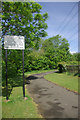
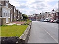
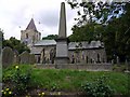

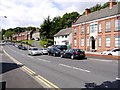
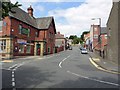
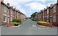

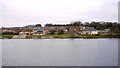
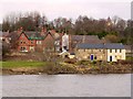
100 photos from this area
Area Information
Key information about the NE15 8PY including its size, population, and administrative classification.
- Area Type
- Postcode
- Area Size
- 6.6 hectares
- Population
- 1429
- Population Density
- 673 people/km²
House Prices in NE15 8PY
27
Properties
£145,209
Average Sold Price
£51,000
Lowest Price
£249,950
Highest Price
Showing 27 properties
| Address | Type | Beds | Baths | Last Sale Price | Last Sale Date | |
|---|---|---|---|---|---|---|
| Rupert House, 31 Townfield Gardens, Newburn, Newcastle Upon Tyne, NE15 8PY | Semi-detached | 4 | 2 | £246,000 | Nov 2024 | |
| 4 Townfield Gardens, Newburn, Newcastle Upon Tyne, NE15 8PY | Semi-detached | 4 | 1 | £229,950 | May 2021 | |
| 13 Townfield Gardens, Newburn, Newcastle Upon Tyne, NE15 8PY | house | 3 | 1 | £156,500 | Apr 2021 | |
| 17 Townfield Gardens, Newburn, Newcastle Upon Tyne, NE15 8PY | Semi-detached | 3 | 1 | £142,000 | Oct 2019 | |
| 33 Townfield Gardens, Newburn, Newcastle Upon Tyne, NE15 8PY | Detached | 4 | 2 | £249,950 | Jul 2018 | |
| 12 Townfield Gardens, Newburn, Newcastle Upon Tyne, NE15 8PY | house | - | - | £140,000 | Nov 2017 | |
| 2 Townfield Gardens, Newburn, Newcastle Upon Tyne, NE15 8PY | Semi-detached | 3 | - | £145,000 | Jul 2015 | |
| 29 Townfield Gardens, Newburn, Newcastle Upon Tyne, NE15 8PY | Semi-detached | 4 | - | £245,000 | Dec 2014 | |
| 10 Townfield Gardens, Newburn, Newcastle Upon Tyne, NE15 8PY | house | 3 | - | £119,950 | Apr 2012 | |
| 16 Townfield Gardens, Newburn, Newcastle Upon Tyne, NE15 8PY | house | - | - | £200,000 | Jun 2010 |
Page 1 of 3
Energy Efficiency in NE15 8PY
Amenities
Schools
| Rank | School | Type | Entry gender | Ages |
|---|
Explore more schools in this area
Go to Schools tabDemographics
Household Size
N/A
most common
Accommodation Type
N/A
most common
Tenure
N/A
majority
Ethnic Group
N/A
most common
Religion
N/A
most common
Household Composition
N/A
most common
Age
N/A
median
N/A
most common
Household Deprivation
N/A
with no deprivation
NS-SEC
N/A
in Lower managerial occupations
Explore more demographic insights in this area
Go to Demographics tabPlanning
Planning Constraints
- Flood RiskPremium
- Ramsar Wetland SitesPremium
- Area of Outstanding Natural BeautyPremium
- Protected Nature ReservePremium
- Protected WoodlandPremium