Area Overview for NE15 7TS
Photos of NE15 7TS
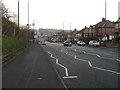
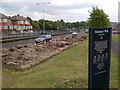
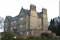

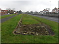
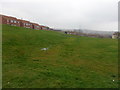
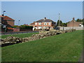
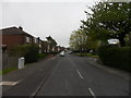


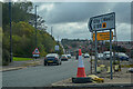
55 photos from this area
Area Information
Key information about the NE15 7TS including its size, population, and administrative classification.
- Area Type
- Postcode
- Area Size
- 4894 m²
- Population
- 1722
- Population Density
- 351894 people/km²
House Prices in NE15 7TS
10
Properties
£124,338
Average Sold Price
£36,950
Lowest Price
£175,000
Highest Price
Showing 10 properties
| Address | Type | Beds | Baths | Last Sale Price | Last Sale Date | |
|---|---|---|---|---|---|---|
| 8 Overdene, Scotswood, Newcastle Upon Tyne, NE15 7TS | Semi-detached | 2 | 1 | £160,000 | Nov 2024 | |
| 1 Overdene, Scotswood, Newcastle Upon Tyne, NE15 7TS | Semi-detached | 2 | 1 | £160,000 | Nov 2024 | |
| 5 Overdene, Scotswood, Newcastle Upon Tyne, NE15 7TS | Semi-detached | 2 | 1 | £142,250 | Jan 2023 | |
| 6 Overdene, Scotswood, Newcastle Upon Tyne, NE15 7TS | house | - | - | £116,000 | May 2019 | |
| 9 Overdene, Scotswood, Newcastle Upon Tyne, NE15 7TS | Semi-detached | 4 | - | £175,000 | Nov 2014 | |
| 10 Overdene, Scotswood, Newcastle Upon Tyne, NE15 7TS | house | 2 | - | £62,500 | Jun 2011 | |
| 4 Overdene, Scotswood, Newcastle Upon Tyne, NE15 7TS | house | - | - | £142,000 | May 2007 | |
| 7 Overdene, Scotswood, Newcastle Upon Tyne, NE15 7TS | Terraced | - | - | £36,950 | Jul 1998 | |
| 2 Overdene, Scotswood, Newcastle Upon Tyne, NE15 7TS | Semi-detached | 2 | - | - | - | |
| 3 Overdene, Scotswood, Newcastle Upon Tyne, NE15 7TS | Semi-detached | - | - | - | - |
Energy Efficiency in NE15 7TS
Amenities
Schools
| Rank | School | Type | Entry gender | Ages |
|---|
Explore more schools in this area
Go to Schools tabDemographics
Household Size
N/A
most common
Accommodation Type
N/A
most common
Tenure
N/A
majority
Ethnic Group
N/A
most common
Religion
N/A
most common
Household Composition
N/A
most common
Age
N/A
median
N/A
most common
Household Deprivation
N/A
with no deprivation
NS-SEC
N/A
in Lower managerial occupations
Explore more demographic insights in this area
Go to Demographics tabPlanning
Planning Constraints
- Flood RiskPremium
- Ramsar Wetland SitesPremium
- Area of Outstanding Natural BeautyPremium
- Protected Nature ReservePremium
- Protected WoodlandPremium