Area Overview for NE15 7SF
Photos of NE15 7SF
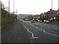
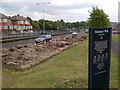
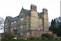

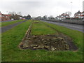
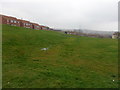
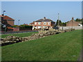
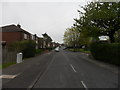


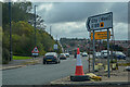
55 photos from this area
Area Information
Key information about the NE15 7SF including its size, population, and administrative classification.
- Area Type
- Postcode
- Area Size
- 2.3 hectares
- Population
- 1356
- Population Density
- 59330 people/km²
House Prices in NE15 7SF
54
Properties
£93,011
Average Sold Price
£24,000
Lowest Price
£235,000
Highest Price
Showing 54 properties
| Address | Type | Beds | Baths | Last Sale Price | Last Sale Date | |
|---|---|---|---|---|---|---|
| 120 Avalon Drive, South Denton, Newcastle Upon Tyne, NE15 7SF | house | - | - | £132,600 | Aug 2024 | |
| 74 Avalon Drive, South Denton, Newcastle Upon Tyne, NE15 7SF | Flat | - | - | £84,950 | Aug 2024 | |
| 35 Avalon Drive, South Denton, Newcastle Upon Tyne, NE15 7SF | Semi-detached | 3 | 1 | £179,950 | Jan 2024 | |
| 48 Avalon Drive, South Denton, Newcastle Upon Tyne, NE15 7SF | Semi-detached | 3 | 1 | £185,000 | Oct 2023 | |
| 126 Avalon Drive, South Denton, Newcastle Upon Tyne, NE15 7SF | Retail | 2 | 1 | £235,000 | Jul 2023 | |
| 76 Avalon Drive, South Denton, Newcastle Upon Tyne, NE15 7SF | Flat | - | - | £83,000 | Mar 2023 | |
| 41 Avalon Drive, South Denton, Newcastle Upon Tyne, NE15 7SF | Semi-detached | 4 | 2 | £175,000 | Aug 2021 | |
| 88 Avalon Drive, South Denton, Newcastle Upon Tyne, NE15 7SF | Flat | - | - | £80,000 | Jun 2021 | |
| 43 Avalon Drive, South Denton, Newcastle Upon Tyne, NE15 7SF | house | - | - | £147,000 | Jul 2020 | |
| 68 Avalon Drive, South Denton, Newcastle Upon Tyne, NE15 7SF | Flat | 1 | 1 | £41,000 | Sep 2019 |
Page 1 of 6
Energy Efficiency in NE15 7SF
Amenities
Schools
| Rank | School | Type | Entry gender | Ages |
|---|
Explore more schools in this area
Go to Schools tabDemographics
Household Size
N/A
most common
Accommodation Type
N/A
most common
Tenure
N/A
majority
Ethnic Group
N/A
most common
Religion
N/A
most common
Household Composition
N/A
most common
Age
N/A
median
N/A
most common
Household Deprivation
N/A
with no deprivation
NS-SEC
N/A
in Lower managerial occupations
Explore more demographic insights in this area
Go to Demographics tabPlanning
Planning Constraints
- Flood RiskPremium
- Ramsar Wetland SitesPremium
- Area of Outstanding Natural BeautyPremium
- Protected Nature ReservePremium
- Protected WoodlandPremium