Area Overview for NE13 6LU
Photos of NE13 6LU
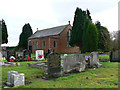
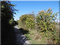
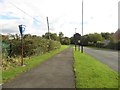
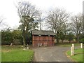
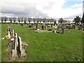
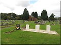
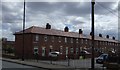
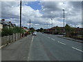
10 photos from this area
Area Information
Key information about the NE13 6LU including its size, population, and administrative classification.
- Area Type
- Postcode
- Area Size
- 4969 m²
- Population
- 1909
- Population Density
- 448 people/km²
House Prices in NE13 6LU
23
Properties
£110,333
Average Sold Price
£63,000
Lowest Price
£270,000
Highest Price
Showing 23 properties
| Address | Type | Beds | Baths | Last Sale Price | Last Sale Date | |
|---|---|---|---|---|---|---|
| 22 Mitford Gardens, Wideopen, NE13 6LU | Semi-detached | 2 | 1 | £270,000 | Dec 2024 | |
| 42 Mitford Gardens, Wideopen, NE13 6LU | Flat | - | - | £118,000 | Apr 2024 | |
| 24 Mitford Gardens, Wideopen, NE13 6LU | Flat | 2 | 1 | £110,000 | Oct 2023 | |
| 23 Mitford Gardens, Wideopen, NE13 6LU | Flat | - | - | £110,000 | Oct 2023 | |
| 29 Mitford Gardens, Wideopen, NE13 6LU | Flat | - | - | £95,000 | Jun 2023 | |
| 43 Mitford Gardens, Wideopen, NE13 6LU | Flat | 2 | 1 | £98,000 | May 2023 | |
| 28 Mitford Gardens, Wideopen, NE13 6LU | Flat | 2 | 1 | £105,000 | Jul 2021 | |
| 27 Mitford Gardens, Wideopen, NE13 6LU | Flat | - | - | £105,000 | Jul 2021 | |
| 25 Mitford Gardens, Wideopen, NE13 6LU | Flat | - | - | £95,000 | Aug 2017 | |
| 32 Mitford Gardens, Wideopen, NE13 6LU | Flat | 2 | 1 | £68,000 | May 2013 |
Page 1 of 3
Energy Efficiency in NE13 6LU
Amenities
Schools
| Rank | School | Type | Entry gender | Ages |
|---|
Explore more schools in this area
Go to Schools tabDemographics
Household Size
Two person
most common
Accommodation Type
Houses
most common
Tenure
70
majority
Ethnic Group
White
most common
Religion
N/A
most common
Household Composition
N/A
most common
Age
47
median
Adults (30-64 years)
most common
Household Deprivation
N/A
with no deprivation
NS-SEC
37
in Lower managerial occupations
Explore more demographic insights in this area
Go to Demographics tabPlanning
Planning Constraints
- Flood RiskPremium
- Ramsar Wetland SitesPremium
- Area of Outstanding Natural BeautyPremium
- Protected Nature ReservePremium
- Protected WoodlandPremium