Area Overview for NE12 8BJ
Photos of NE12 8BJ
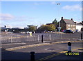
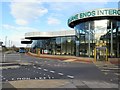
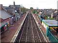
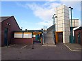
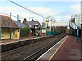
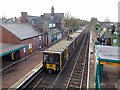
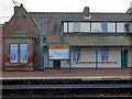
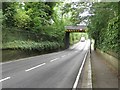
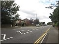
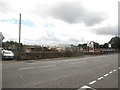
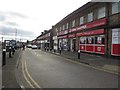
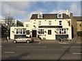
82 photos from this area
Area Information
Key information about the NE12 8BJ including its size, population, and administrative classification.
- Area Type
- Postcode
- Area Size
- 1.2 hectares
- Population
- 1858
- Population Density
- 2059 people/km²
House Prices in NE12 8BJ
33
Properties
£224,049
Average Sold Price
£162,500
Lowest Price
£360,000
Highest Price
Showing 33 properties
| Address | Type | Beds | Baths | Last Sale Price | Last Sale Date | |
|---|---|---|---|---|---|---|
| 22 Southfield Road, Benton, NE12 8BJ | house | - | - | £327,500 | Feb 2024 | |
| 17 Southfield Road, Benton, NE12 8BJ | Semi-detached | 4 | 2 | £360,000 | May 2023 | |
| 29 Southfield Road, Benton, NE12 8BJ | house | - | - | £235,000 | Feb 2022 | |
| 8 Southfield Road, Benton, NE12 8BJ | Semi-detached | 3 | 1 | £275,225 | Apr 2021 | |
| 14 Southfield Road, Benton, NE12 8BJ | house | - | - | £200,000 | Mar 2021 | |
| 21 Southfield Road, Benton, NE12 8BJ | house | - | - | £211,600 | Oct 2020 | |
| 28 Southfield Road, Benton, NE12 8BJ | Terraced | 3 | - | £217,500 | Feb 2018 | |
| 3 Southfield Road, Benton, NE12 8BJ | Semi-detached | 3 | 1 | £193,000 | May 2017 | |
| 25 Southfield Road, Benton, NE12 8BJ | Semi-detached | 3 | - | £210,000 | Nov 2016 | |
| 30 Southfield Road, Benton, NE12 8BJ | house | - | - | £220,000 | Sep 2015 |
Page 1 of 4
Energy Efficiency in NE12 8BJ
Amenities
Schools
| Rank | School | Type | Entry gender | Ages |
|---|
Explore more schools in this area
Go to Schools tabDemographics
Household Size
One person
most common
Accommodation Type
Houses
most common
Tenure
73
majority
Ethnic Group
White
most common
Religion
N/A
most common
Household Composition
N/A
most common
Age
47
median
Adults (30-64 years)
most common
Household Deprivation
N/A
with no deprivation
NS-SEC
48
in Lower managerial occupations
Explore more demographic insights in this area
Go to Demographics tabPlanning
Planning Constraints
- Flood RiskPremium
- Ramsar Wetland SitesPremium
- Area of Outstanding Natural BeautyPremium
- Protected Nature ReservePremium
- Protected WoodlandPremium