Area Overview for NE12 6SL
Photos of NE12 6SL
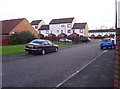
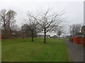
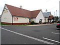
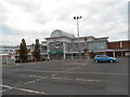
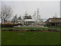
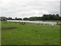
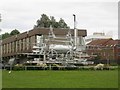

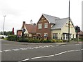
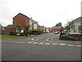

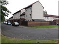
37 photos from this area
Area Information
Key information about the NE12 6SL including its size, population, and administrative classification.
- Area Type
- Postcode
- Area Size
- 1.6 hectares
- Population
- 1810
- Population Density
- 2380 people/km²
House Prices in NE12 6SL
29
Properties
£77,884
Average Sold Price
£20,493
Lowest Price
£117,500
Highest Price
Showing 29 properties
| Address | Type | Beds | Baths | Last Sale Price | Last Sale Date | |
|---|---|---|---|---|---|---|
| 19 Cypress Gardens, Killingworth, NE12 6SL | house | 3 | 2 | £109,000 | May 2024 | |
| 9 Cypress Gardens, Killingworth, NE12 6SL | house | - | - | £117,500 | Sep 2020 | |
| 1 Cypress Gardens, Killingworth, NE12 6SL | Flat | 2 | - | £90,000 | Jul 2019 | |
| 24 Cypress Gardens, Killingworth, NE12 6SL | Terraced | 3 | - | £100,000 | Mar 2017 | |
| 5 Cypress Gardens, Killingworth, NE12 6SL | Terraced | 2 | 1 | £90,000 | Feb 2017 | |
| 27 Cypress Gardens, Killingworth, NE12 6SL | house | - | - | £46,464 | Dec 2015 | |
| 20 Cypress Gardens, Killingworth, NE12 6SL | Terraced | 3 | - | £72,000 | Jul 2014 | |
| 17 Cypress Gardens, Killingworth, NE12 6SL | house | 3 | - | £55,500 | Dec 2011 | |
| 23 Cypress Gardens, Killingworth, NE12 6SL | Terraced | - | - | £20,493 | Mar 2003 | |
| 29 Cypress Gardens, Killingworth, NE12 6SL | Terraced | 2 | 1 | - | - |
Page 1 of 3
Energy Efficiency in NE12 6SL
Amenities
Schools
| Rank | School | Type | Entry gender | Ages |
|---|
Explore more schools in this area
Go to Schools tabDemographics
Household Size
Family (3-5 people)
most common
Accommodation Type
Houses
most common
Tenure
50
majority
Ethnic Group
White
most common
Religion
N/A
most common
Household Composition
N/A
most common
Age
47
median
Adults (30-64 years)
most common
Household Deprivation
N/A
with no deprivation
NS-SEC
22
in Lower managerial occupations
Explore more demographic insights in this area
Go to Demographics tabPlanning
Planning Constraints
- Flood RiskPremium
- Ramsar Wetland SitesPremium
- Area of Outstanding Natural BeautyPremium
- Protected Nature ReservePremium
- Protected WoodlandPremium