Area Overview for NE12 5XT
Photos of NE12 5XT
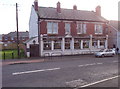
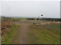
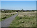
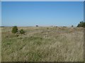
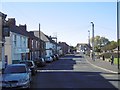
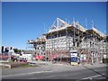
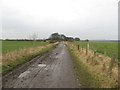
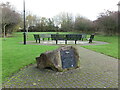
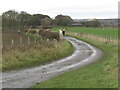
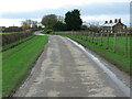
23 photos from this area
Area Information
Key information about the NE12 5XT including its size, population, and administrative classification.
- Area Type
- Postcode
- Area Size
- 1.7 hectares
- Population
- 1775
- Population Density
- 1952 people/km²
House Prices in NE12 5XT
54
Properties
£82,250
Average Sold Price
£34,000
Lowest Price
£135,000
Highest Price
Showing 54 properties
| Address | Type | Beds | Baths | Last Sale Price | Last Sale Date | |
|---|---|---|---|---|---|---|
| 71A Allanville, Camperdown, NE12 5XT | Semi-detached | 2 | 1 | £120,000 | Jun 2025 | |
| 88 Allanville, Camperdown, NE12 5XT | Semi-detached | 3 | 2 | £135,000 | Jun 2024 | |
| 99 Allanville, Camperdown, NE12 5XT | house | 2 | 1 | £100,000 | Nov 2022 | |
| 109 Allanville, Camperdown, NE12 5XT | house | - | - | £115,500 | May 2022 | |
| 91 Allanville, Camperdown, NE12 5XT | Terraced | - | - | £90,000 | Aug 2008 | |
| 74 Allanville, Camperdown, NE12 5XT | house | - | - | £76,500 | Apr 2004 | |
| 121 Allanville, Camperdown, NE12 5XT | Semi-detached | - | - | £78,500 | Apr 2004 | |
| 86 Allanville, Camperdown, NE12 5XT | Semi-detached | - | - | £34,500 | Mar 2001 | |
| 70 Allanville, Camperdown, NE12 5XT | Terraced | - | - | £38,500 | May 1999 | |
| 123 Allanville, Camperdown, NE12 5XT | house | - | - | £34,000 | Oct 1996 |
Page 1 of 6
Energy Efficiency in NE12 5XT
Amenities
Schools
| Rank | School | Type | Entry gender | Ages |
|---|
Explore more schools in this area
Go to Schools tabDemographics
Household Size
One person
most common
Accommodation Type
Houses
most common
Tenure
51
majority
Ethnic Group
White
most common
Religion
N/A
most common
Household Composition
N/A
most common
Age
47
median
Adults (30-64 years)
most common
Household Deprivation
N/A
with no deprivation
NS-SEC
20
in Lower managerial occupations
Explore more demographic insights in this area
Go to Demographics tabPlanning
Planning Constraints
- Flood RiskPremium
- Ramsar Wetland SitesPremium
- Area of Outstanding Natural BeautyPremium
- Protected Nature ReservePremium
- Protected WoodlandPremium