Area Overview for NE11 9HB
Photos of NE11 9HB
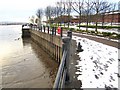
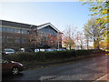
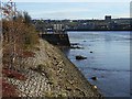
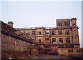
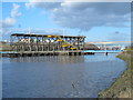
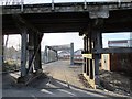
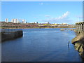
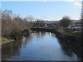
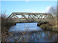
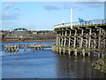
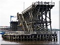
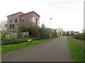
100 photos from this area
Area Information
Key information about the NE11 9HB including its size, population, and administrative classification.
- Area Type
- Postcode
- Area Size
- 6331 m²
- Population
- 1377
- Population Density
- 4540 people/km²
House Prices in NE11 9HB
22
Properties
£79,400
Average Sold Price
£16,000
Lowest Price
£119,950
Highest Price
Showing 22 properties
| Address | Type | Beds | Baths | Last Sale Price | Last Sale Date | |
|---|---|---|---|---|---|---|
| 9 Wellington Road, Dunston, Gateshead, NE11 9HB | Terraced | 2 | 2 | £100,000 | Jun 2024 | |
| 10 Wellington Road, Dunston, Gateshead, NE11 9HB | Terraced | 2 | 1 | £94,950 | Nov 2021 | |
| 18 Wellington Road, Dunston, Gateshead, NE11 9HB | Terraced | 2 | - | £91,000 | Jul 2018 | |
| 12 Wellington Road, Dunston, Gateshead, NE11 9HB | Terraced | 2 | 1 | £86,000 | Mar 2018 | |
| 4 Wellington Road, Dunston, Gateshead, NE11 9HB | Terraced | 2 | - | £88,000 | Jul 2017 | |
| 3 Wellington Road, Dunston, Gateshead, NE11 9HB | Terraced | - | - | £99,950 | Nov 2012 | |
| 6 Wellington Road, Dunston, Gateshead, NE11 9HB | house | 2 | - | £86,000 | Jul 2012 | |
| 15 Wellington Road, Dunston, Gateshead, NE11 9HB | house | 2 | - | £62,500 | Jun 2011 | |
| 1 Wellington Road, Dunston, Gateshead, NE11 9HB | Flat | - | - | £119,950 | Apr 2007 | |
| 2 Wellington Road, Dunston, Gateshead, NE11 9HB | Terraced | - | - | £56,500 | Feb 2006 |
Page 1 of 3
Energy Efficiency in NE11 9HB
Amenities
Schools
| Rank | School | Type | Entry gender | Ages |
|---|
Explore more schools in this area
Go to Schools tabDemographics
Household Size
One person
most common
Accommodation Type
Houses
most common
Tenure
42
majority
Ethnic Group
White
most common
Religion
N/A
most common
Household Composition
N/A
most common
Age
47
median
Adults (30-64 years)
most common
Household Deprivation
N/A
with no deprivation
NS-SEC
22
in Lower managerial occupations
Explore more demographic insights in this area
Go to Demographics tabPlanning
Planning Constraints
- Flood RiskPremium
- Ramsar Wetland SitesPremium
- Area of Outstanding Natural BeautyPremium
- Protected Nature ReservePremium
- Protected WoodlandPremium