Area Overview for NE11 9AD
Photos of NE11 9AD
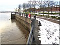
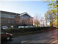
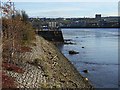
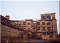
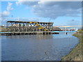
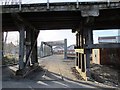
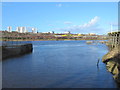
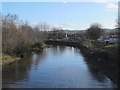
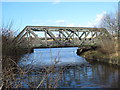
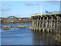
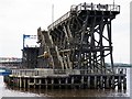
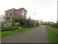
100 photos from this area
Area Information
Key information about the NE11 9AD including its size, population, and administrative classification.
- Area Type
- Postcode
- Area Size
- 2550 m²
- Population
- 1377
- Population Density
- 4540 people/km²
House Prices in NE11 9AD
15
Properties
£65,120
Average Sold Price
£21,500
Lowest Price
£93,000
Highest Price
Showing 15 properties
| Address | Type | Beds | Baths | Last Sale Price | Last Sale Date | |
|---|---|---|---|---|---|---|
| 85 Ravensworth Road, Dunston, Gateshead, NE11 9AD | Flat | - | - | £85,000 | Apr 2024 | |
| 73 Ravensworth Road, Dunston, Gateshead, NE11 9AD | Flat | 2 | 1 | £91,000 | Dec 2023 | |
| 89 Ravensworth Road, Dunston, Gateshead, NE11 9AD | Flat | - | - | £87,000 | May 2023 | |
| 71 Ravensworth Road, Dunston, Gateshead, NE11 9AD | Flat | - | - | £88,000 | Jun 2022 | |
| 79 Ravensworth Road, Dunston, Gateshead, NE11 9AD | Flat | - | - | £93,000 | Apr 2022 | |
| 81 Ravensworth Road, Dunston, Gateshead, NE11 9AD | Flat | - | - | £93,000 | Apr 2022 | |
| 63 Ravensworth Road, Dunston, Gateshead, NE11 9AD | Flat | - | - | £59,000 | Nov 2021 | |
| 87 Ravensworth Road, Dunston, Gateshead, NE11 9AD | Flat | 2 | 1 | £70,000 | Aug 2021 | |
| 65 Ravensworth Road, Dunston, Gateshead, NE11 9AD | Flat | - | - | £35,000 | Dec 2017 | |
| 23A Ravensworth Road, Dunston, Gateshead, NE11 9AD | Flat | - | - | £65,000 | Jul 2007 |
Page 1 of 2
Energy Efficiency in NE11 9AD
Amenities
Schools
| Rank | School | Type | Entry gender | Ages |
|---|
Explore more schools in this area
Go to Schools tabDemographics
Household Size
One person
most common
Accommodation Type
Houses
most common
Tenure
42
majority
Ethnic Group
White
most common
Religion
N/A
most common
Household Composition
N/A
most common
Age
47
median
Adults (30-64 years)
most common
Household Deprivation
N/A
with no deprivation
NS-SEC
22
in Lower managerial occupations
Explore more demographic insights in this area
Go to Demographics tabPlanning
Planning Constraints
- Flood RiskPremium
- Ramsar Wetland SitesPremium
- Area of Outstanding Natural BeautyPremium
- Protected Nature ReservePremium
- Protected WoodlandPremium