Area Overview for NE11 0RB
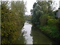
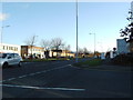
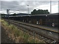
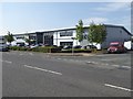
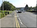
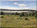
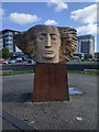
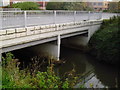
Photos of NE11 0RB
Area Information
Living in NE11 0RB offers a compact, residential experience shaped by its small cluster of homes and proximity to nearby towns. With a population of 2018 residents and a density of 687 people per square kilometre, this area balances space and community. The median age of 47 suggests a mature demographic, with adults aged 30–64 forming the majority. Daily life here is defined by proximity to transport links, including five rail stations such as Dunston and Metrocentre, and access to retail hubs like Co-op Low and Heron Durham. While the area lacks natural reserves or protected landscapes, its practical connectivity and low flood risk make it a pragmatic choice for those prioritising accessibility over rural scenery. The housing stock, predominantly owner-occupied, reflects a stable, long-term community, though the 34% home ownership rate hints at a mix of renters and private buyers. NE11 0RB is not a place for those seeking wilderness, but it suits those who value convenience, proximity to urban amenities, and a straightforward, no-frills lifestyle.
- Area Type
- Postcode
- Area Size
- Not available
- Population
- 2018
- Population Density
- 687 people/km²
NE11 0RB’s property market is characterised by a 34% home ownership rate, meaning most residents rent rather than own their homes. This suggests a rental market that may cater to workers in nearby towns or those seeking short-term stays. The accommodation type is predominantly houses, which is notable for a small postcode area, potentially indicating a mix of older, family-sized homes and newer developments. The low density of the area—2018 residents across a compact footprint—means properties are likely spread out, with limited high-density housing. For buyers, this could present challenges: the small size of the area limits options, and the high crime risk may deter investment. However, the presence of rail links and retail amenities nearby might offset concerns for those prioritising transport and convenience over tranquillity. Prospective buyers should consider the area’s practicality over luxury, as the housing stock appears to serve functional, everyday needs rather than aspirational living.
House Prices in NE11 0RB
No properties found in this postcode.
Energy Efficiency in NE11 0RB
Residents of NE11 0RB have access to a range of local amenities within practical reach. Retail options include Co-op Low, Heron Low, and Heron Durham, offering everyday shopping and services. The rail network, with stations like Dunston and Metrocentre, provides easy access to nearby towns, while the metro system connects to Gateshead Stadium and Felling, expanding leisure and work opportunities. A single bus route at Rhodes Street adds flexibility for local travel. Though the area lacks dedicated parks or green spaces, its proximity to rail and retail suggests a focus on convenience over natural amenities. The presence of multiple transport links and retail hubs indicates a community that values accessibility, with daily life centred on practicality. While not a destination for culture or nature, NE11 0RB supports a functional lifestyle for those prioritising connectivity and proximity to urban services.
Amenities
Schools
| Rank | School | Type | Entry gender | Ages |
|---|
Explore more schools in this area
Go to Schools tabDemographics
The community in NE11 0RB is largely composed of adults aged 30–64, with a median age of 47. This suggests a settled population, likely with established careers and families. Home ownership stands at 34%, indicating that nearly two-thirds of residents rent their homes, which may reflect affordability challenges or a transient workforce. The area’s accommodation is primarily houses, which is unusual for a postcode of this size, implying a mix of older properties and perhaps some newer builds. The predominant ethnic group is White, though no further breakdown is provided. The population density of 687 people per square kilometre means the area is neither sparse nor overcrowded, offering a balance for those seeking a quiet but connected environment. While the data does not specify deprivation levels, the low flood risk and absence of environmental constraints suggest a baseline stability for quality of life, though the high crime risk noted elsewhere may offset this.
Household Size
Accommodation Type
Tenure
Ethnic Group
Religion
Household Composition
Age
Household Deprivation
NS-SEC
Explore more demographic insights in this area
Go to Demographics tabPlanning
Planning Constraints
- Flood RiskPremium
- Ramsar Wetland SitesPremium
- Area of Outstanding Natural BeautyPremium
- Protected Nature ReservePremium
- Protected WoodlandPremium