Area Overview for NE10 8UP
Photos of NE10 8UP

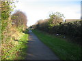

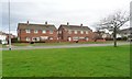
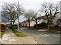
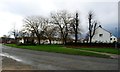
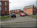
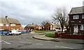
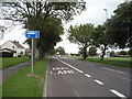

23 photos from this area
Area Information
Key information about the NE10 8UP including its size, population, and administrative classification.
- Area Type
- Postcode
- Area Size
- 1.1 hectares
- Population
- 1609
- Population Density
- 151892 people/km²
House Prices in NE10 8UP
16
Properties
£90,750
Average Sold Price
£77,000
Lowest Price
£113,000
Highest Price
Showing 16 properties
| Address | Type | Beds | Baths | Last Sale Price | Last Sale Date | |
|---|---|---|---|---|---|---|
| 70 Meresyde, Leam Lane Estate, Felling, NE10 8UP | Semi-detached | 2 | - | £77,000 | May 2013 | |
| 82 Meresyde, Leam Lane Estate, Felling, NE10 8UP | house | 3 | - | £82,000 | Jun 2012 | |
| 62 Meresyde, Leam Lane Estate, Felling, NE10 8UP | Semi-detached | - | - | £113,000 | May 2005 | |
| 86 Meresyde, Leam Lane Estate, Felling, NE10 8UP | Semi-detached | - | - | £91,000 | Jan 2005 | |
| 74 Meresyde, Leam Lane Estate, Felling, NE10 8UP | Semi-detached | 3 | - | - | - | |
| 60 Meresyde, Leam Lane Estate, Felling, NE10 8UP | house | - | - | - | - | |
| Residential Accommodation, The Bugle, Meresyde, Leam Lane Estate, Felling, NE10 8UP | undefined | - | - | - | - | |
| The Leam Methodist Church Hall, Meresyde, Leam Lane Estate, Felling, NE10 8UP | commercial | - | - | - | - | |
| 68 Meresyde, Leam Lane Estate, Felling, NE10 8UP | house | - | - | - | - | |
| 78 Meresyde, Leam Lane Estate, Felling, NE10 8UP | house | - | - | - | - |
Page 1 of 2
Energy Efficiency in NE10 8UP
Amenities
Schools
| Rank | School | Type | Entry gender | Ages |
|---|
Explore more schools in this area
Go to Schools tabDemographics
Household Size
N/A
most common
Accommodation Type
N/A
most common
Tenure
N/A
majority
Ethnic Group
N/A
most common
Religion
N/A
most common
Household Composition
N/A
most common
Age
N/A
median
N/A
most common
Household Deprivation
N/A
with no deprivation
NS-SEC
N/A
in Lower managerial occupations
Explore more demographic insights in this area
Go to Demographics tabPlanning
Planning Constraints
- Flood RiskPremium
- Ramsar Wetland SitesPremium
- Area of Outstanding Natural BeautyPremium
- Protected Nature ReservePremium
- Protected WoodlandPremium