Area Overview for NE1 2TP
Photos of NE1 2TP
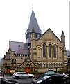
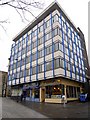
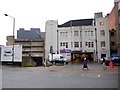
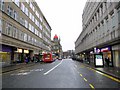
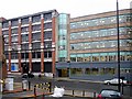
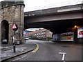
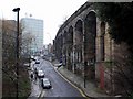
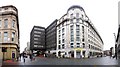
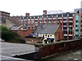
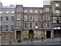
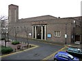
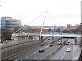
100 photos from this area
Area Information
Key information about the NE1 2TP including its size, population, and administrative classification.
- Area Type
- Postcode
- Area Size
- 1.7 hectares
- Population
- 3961
- Population Density
- 12603 people/km²
House Prices in NE1 2TP
47
Properties
£118,114
Average Sold Price
£45,000
Lowest Price
£160,000
Highest Price
Showing 47 properties
| Address | Type | Beds | Baths | Last Sale Price | Last Sale Date | |
|---|---|---|---|---|---|---|
| 5 Red Barns, Newcastle Upon Tyne, NE1 2TP | Terraced | 2 | 1 | £147,750 | Dec 2024 | |
| 22 Red Barns, Newcastle Upon Tyne, NE1 2TP | house | 3 | 1 | £155,000 | Nov 2023 | |
| 37 Red Barns, Newcastle Upon Tyne, NE1 2TP | Flat | - | - | £132,000 | Sep 2023 | |
| 33 Red Barns, Newcastle Upon Tyne, NE1 2TP | house | 2 | 1 | £120,000 | Sep 2017 | |
| 18 Red Barns, Newcastle Upon Tyne, NE1 2TP | Flat | 2 | 1 | £100,000 | Jun 2017 | |
| 23 Red Barns, Newcastle Upon Tyne, NE1 2TP | Detached | 3 | 2 | £160,000 | Mar 2017 | |
| 19 Red Barns, Newcastle Upon Tyne, NE1 2TP | Flat | - | - | £108,500 | Sep 2015 | |
| 45 Red Barns, Newcastle Upon Tyne, NE1 2TP | Flat | - | - | £100,000 | Sep 2009 | |
| 14 Red Barns, Newcastle Upon Tyne, NE1 2TP | Flat | - | - | £115,000 | Sep 2007 | |
| 46 Red Barns, Newcastle Upon Tyne, NE1 2TP | Flat | - | - | £116,000 | Mar 2006 |
Page 1 of 5
Energy Efficiency in NE1 2TP
Amenities
Schools
| Rank | School | Type | Entry gender | Ages |
|---|
Explore more schools in this area
Go to Schools tabDemographics
Household Size
One person
most common
Accommodation Type
Flats
most common
Tenure
14
majority
Ethnic Group
White
most common
Religion
N/A
most common
Household Composition
N/A
most common
Age
22
median
Young Adults (15-29 years)
most common
Household Deprivation
N/A
with no deprivation
NS-SEC
7
in Lower managerial occupations
Explore more demographic insights in this area
Go to Demographics tabPlanning
Planning Constraints
- Flood RiskPremium
- Ramsar Wetland SitesPremium
- Area of Outstanding Natural BeautyPremium
- Protected Nature ReservePremium
- Protected WoodlandPremium