Area Overview for Marton West Ward
Photos of Marton West Ward

Area Information
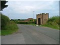
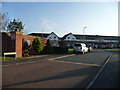
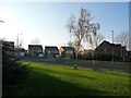
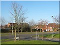
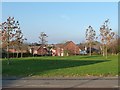
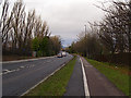
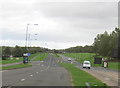
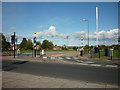
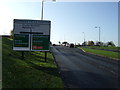
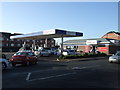
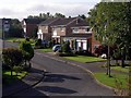
Marton West Ward represents a distinctive residential zone within the unitary authority of Middlesbrough in North East England. This 2.8 km² electoral ward sits south of the town centre, bounded by Marton Road to the east and the A174 Parkway to the north. The suburb evolved from an original village during urban expansion, creating a landscape defined by a mix of developments spanning nearly four decades. You will find older, bungalow-dominated estates like the Egerton Price Estate sitting alongside newer housing estates around Bonny Grove Park. This variation in estate maturity offers distinct character depending on your specific location within the ward. Daily life centres around small-scale retail provisions, including a Tesco Express petrol station and shop, alongside local public houses and newsagents. While the ward lacks major community facilities such as dedicated churches or surgeries within its boundaries, it retains enough local infrastructure to support straightforward daily needs for most residents. The area remains a practical choice for those seeking living in Marton West Ward without the pressure of the immediate town centre environment.
- Area Type
- District Borough Unitary Ward
- Area Size
- 2.8 km²
- Population
- Not available
- Population Density
- Not available
Demographics
The community within Marton West Ward is defined by an exceptionally mature population profile. The median age for residents is 70 years, meaning the typical household head is significantly older than the national average. This demographic reality shapes the local energy and service consumption within the ward. Home ownership stands at a robust 87 per cent, indicating a neighbourhood where long-term security is the norm rather than renting. With such high ownership rates, you are joining a community of people who have settled permanently over many years. The ward encompasses a variety of household compositions, though specific breakdowns by family or single-person types are not detailed in the current figures. The area is also diverse in terms of ethnicity and religion, with the total population representing a broad range of cultural backgrounds. Deprivation levels are not explicitly quantified in the available data, so you should focus on the stability indicated by the high property ownership figure. Living in Marton West Ward means dealing with a resident base that values permanence and stability over transient trends.
Household Size
Accommodation Type
Tenure
Ethnic Group
Religion
Household Composition
Age
Household Deprivation
NS-SEC
Explore more demographic insights in this area
Go to Demographics tabPlanning
Planning Constraints
- Flood RiskPremium
- Ramsar Wetland SitesPremium
- Area of Outstanding Natural BeautyPremium
- Protected Nature ReservePremium
- Protected WoodlandPremium
- Crime RiskPremium