Area Overview for Kader Ward
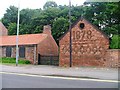
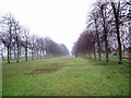
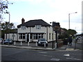
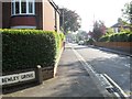
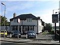
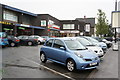
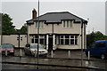
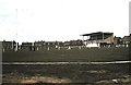
Photos of Kader Ward

Area Information
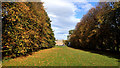
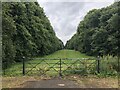
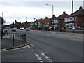
Kader Ward is a compact settlement covering just 2.3 square kilometres in England. It stands out as a mature district with a distinctly settled character. The area caters primarily to individuals seeking a life defined by stability and existing quiet surroundings. Living in Kader Ward means experiencing a neighbourhood where major planning constraints are largely absent. There are no Ramsar wetland sites, Areas of Outstanding Natural Beauty, or protected nature reserves within the ward boundaries. Similarly, there is no designated protected woodland to restrict future development. You can move to Kader Ward knowing the land carries minimal environmental restrictions. The physical footprint is small, which often translates to a close-knit environment where amenities are within easy reach. Daily life centres on convenience rather than long commutes across vast stretches of land. The ward represents a practical choice for those prioritising a straightforward living situation with clear development boundaries.
- Area Type
- District Borough Unitary Ward
- Area Size
- 2.3 km²
- Population
- Not available
- Population Density
- Not available
Demographics
The community profile of Kader Ward reflects a very senior population. The median age stands at 70 years, indicating a region predominantly populated by older residents. Housing tenure shows a strong prevalence of ownership, with 87% of homes in Kader Ward being owner-occupied. This high rate suggests most households have established roots rather than occupying temporary rental properties. The remaining 13% of households live in rented accommodation or other tenure types. While specific data on household composition details and predominant ethnic groups are not detailed in the current figures, the clear picture is one of long-term residency. The demographic skew towards the 70-year-old median age influences local demand and typical household size. You will find the ward accommodates those looking for homes near Kader Ward to support retirement years. The community feels stable because most people own the property they live in. This stability shapes the character of the neighbourhood, focusing on residents who have settled permanently rather than transient populations.
Household Size
Accommodation Type
Tenure
Ethnic Group
Religion
Household Composition
Age
Household Deprivation
NS-SEC
Explore more demographic insights in this area
Go to Demographics tabPlanning
Planning Constraints
- Flood RiskPremium
- Ramsar Wetland SitesPremium
- Area of Outstanding Natural BeautyPremium
- Protected Nature ReservePremium
- Protected WoodlandPremium
- Crime RiskPremium