Area Overview for Gateshead
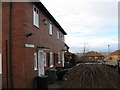
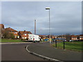
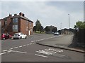
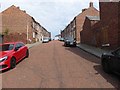
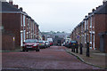
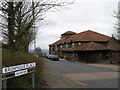
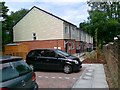
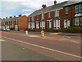
Photos of Gateshead


Area Information
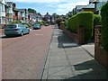
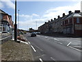
Living in Gateshead offers a compact yet dynamic urban experience within a 28.7 km² area. With a population of 48,700, the borough has a population density of 1,697 people per square kilometre, reflecting a tightly knit community. As a built-up area in northeast England, Gateshead balances urban convenience with proximity to natural landscapes. The median age of 70 suggests a mature demographic, though this figure may reflect data categorisation rather than a homogeneous age profile. Daily life is shaped by its infrastructure, including five rail stations and multiple retail outlets, ensuring accessibility to services. The area’s appeal lies in its practicality—residents benefit from a mix of local amenities, including schools, transport hubs, and leisure facilities. While the population density is high, the area’s compact size means essential services are within walking or short driving distance. For those prioritising connectivity and community, Gateshead provides a foundation of stability, though its character is defined as much by its challenges as its conveniences.
- Area Type
- District/Borough
- Area Size
- 28.7 km²
- Population
- 48700
- Population Density
- 1697 people/km²
Demographics
Gateshead’s demographic profile is defined by a median age of 70, which is notably higher than the national average. This suggests a community skewed towards older residents, though the "Total" designation for the most common age range indicates data limitations in specifying subgroups. Home ownership stands at 54%, meaning nearly half of residents own their homes, while the remaining 46% may be in rental or other tenures. Accommodation types and household compositions are not detailed in the data, but the high home ownership rate implies a stable residential base. The predominant ethnic group and religion categories are also listed as "Total," offering no breakdown of diversity. This lack of granularity may affect understanding of cultural or social dynamics. However, the 54% home ownership rate suggests a community with established roots, though the absence of specific data on deprivation or household types means broader quality-of-life implications remain unclear.
Household Size
Accommodation Type
Tenure
Ethnic Group
Religion
Household Composition
Age
Household Deprivation
NS-SEC
Explore more demographic insights in this area
Go to Demographics tabPlanning
Planning Constraints
- Crime RiskLocked